Map of Secaucus, New Jersey
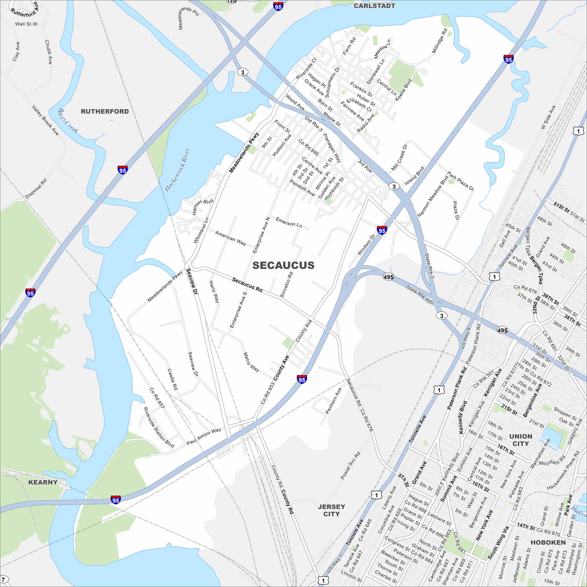
Check out our map of Secaucus, New Jersey. Just across the river from Manhattan, it’s a hub of parks, shopping, and easy commuter routes.
Map Information
On the Map
Interstates/Highways: I-95, US Hwy 1, US Hwy 9, State Rte 3, State Rte 495 Major Roads: Paterson Plank Rd, Secaucus Rd, County Ave, Meadowlands Pkwy, Tonnelle Ave, Union Ave, Enterprise Ave, American Way, Penhorn Ave, Windsor Dr, Seaview Dr, Harmon Meadow Blvd, Plaza Dr, Island Blvd, Mill Creek Dr, Radio Ave, Maple St, Born St, Grace Ave, Old Rte 3 Major Rivers: Hackensack River Nearby Communities: Rutherford, Carlstadt, Jersey City, Union City, Hoboken, KearnyNew Jersey State Maps
Explore maps from the Garden State.


City Maps of New Jersey
Newark and New Jersey cities in complete detail


