Map of Santee, California
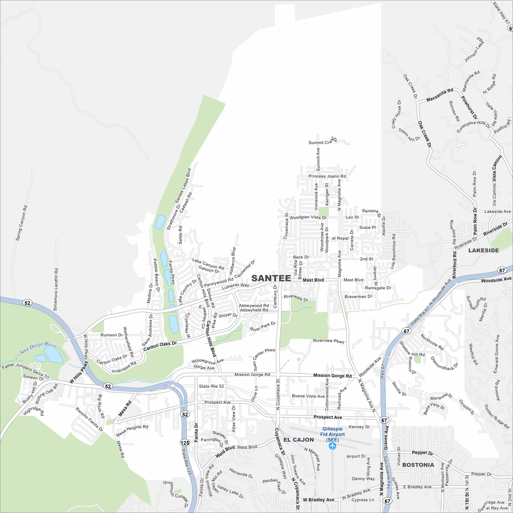
Check out our map of Santee, California. It shows the lakes, highway/roads, and growing neighborhoods that make up this San Diego County community.
California State Maps
Explore California with our state maps


Map Information
On the Map
Interstates/Highways: State Rte 52, State Rte 67, State Rte 125 Major Roads: Mission Gorge Rd, Carlton Hills Blvd, Mast Blvd, Magnolia Ave, Fanita Pkwy, Cuyamaca St, Prospect Ave, Woodside Ave, Bradley Ave, Riverview Pkwy, West Hills Pkwy, Carlton Oaks Dr, Buena Vista Ave, Weld Blvd, Town Center Pkwy Airports: Gillespie Fld Airport (SEE) Lakes and Reservoirs: Santee Lakes, Lake Canyon Major Rivers: San Diego River Parks and Preserves: Mission Trails Regional Park Nearby Communities: Lakeside, El Cajon, BostoniaCalifornia City Maps
Here are detailed maps of California


