Map of Santa Rosa, California
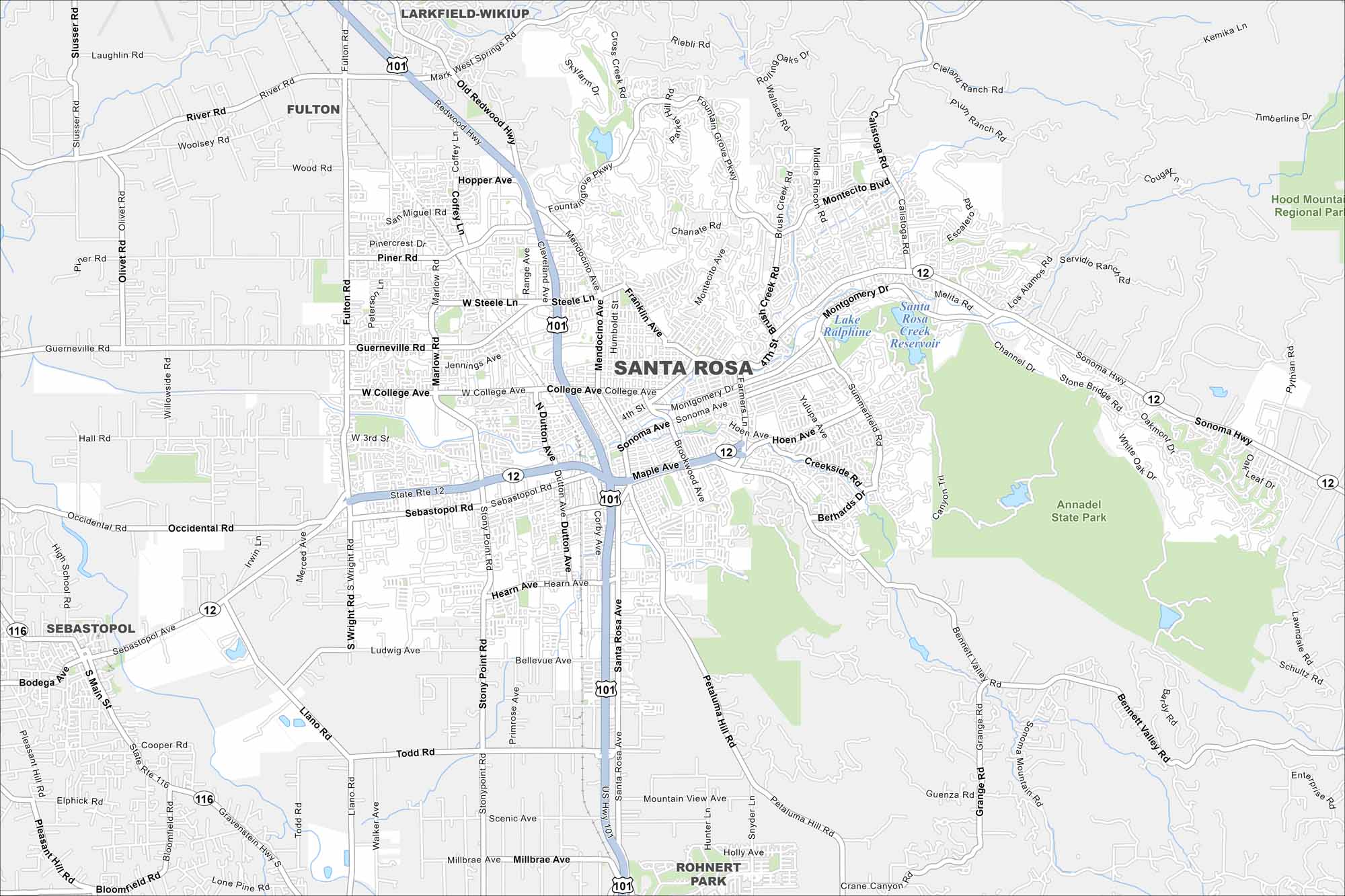
Our map of Santa Rosa highlights its highways, downtown, and green parks. It’s the heart of Sonoma County wineries. Navigate with this map as your guide.
California State Maps
Explore California with our state maps


Map Information
On the Map
Interstates/Highways: US Hwy 101, State Rte 12, State Rte 116 Major Roads: Santa Rosa Ave, Mendocino Ave, College Ave, 4th St, Guerneville Rd, Sebastopol Rd, Piner Rd, Steele Ln, Hopper Ave, Hearn Ave, Todd Rd, Millbrae Ave, Stony Point Rd, Dutton Ave, Fulton Rd, Wright Rd, Farmers Ln, Sonoma Hwy, Montgomery Dr, Petaluma Hill Rd Lakes and Reservoirs: Santa Rosa Creek Reservoir, Lake Ralphine Parks and Preserves: Annadel State Park, Hood Mountain Regional Park Nearby Communities: Larkfield-Wikiup, Fulton, Sebastopol, Rohnert ParkCalifornia City Maps
Here are detailed maps of California


