Map of Santa Paula, California
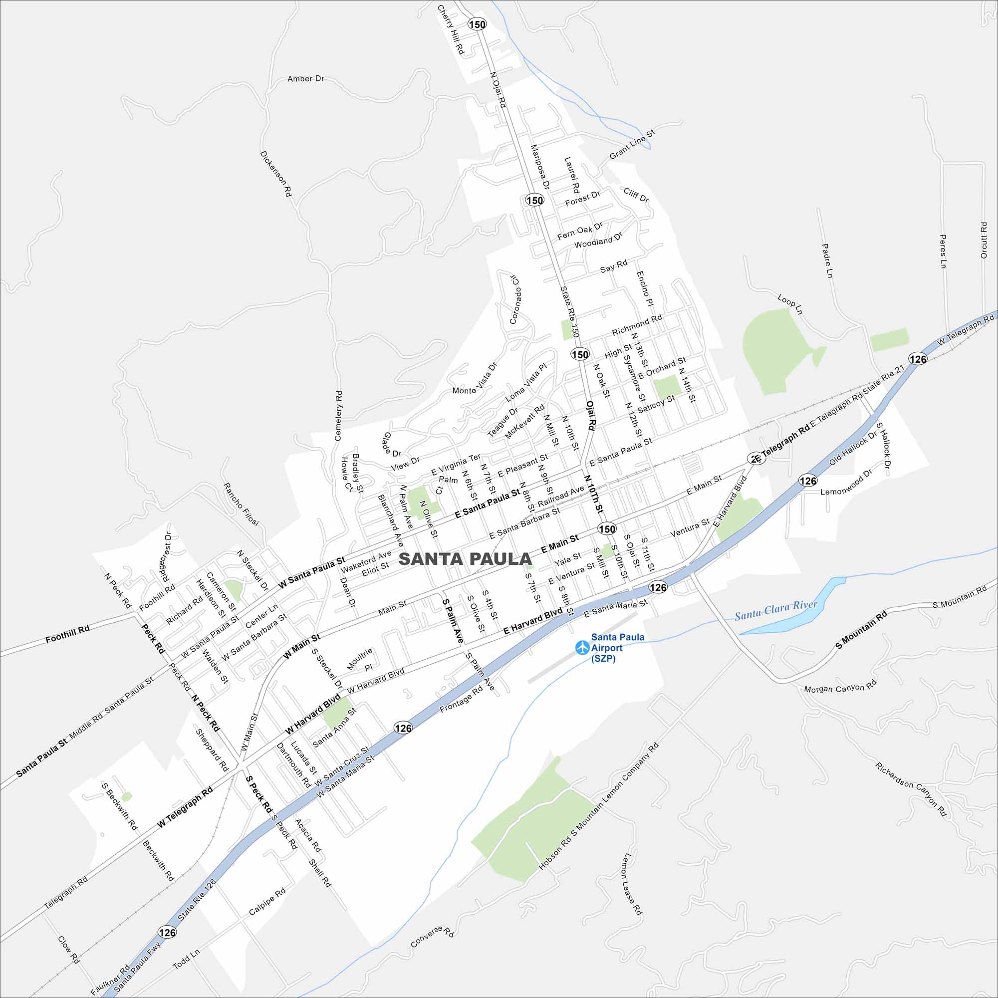
Here’s our map of Santa Paula, set in the Santa Clara River Valley. Our map helps you find neighborhoods, roads, and local landmarks.
California State Maps
Explore California with our state maps


Map Information
On the Map
Interstates/Highways: State Rte 126, State Rte 150 Major Roads: Main St, Harvard Blvd, Telegraph Rd, Santa Paula St, Peck Rd, 10th St to Ojai Rd, Palm Ave, 12th St, Hallock Dr, Lemonwood Dr, Faulkner Fwy, Steckel Dr, Santa Barbara St, Railroad Ave, Pleasant St, Virginia Ter, Highland Dr, Richmond Rd, Say Rd, Saticoy St Airports: Santa Paula Airport (SZP) Major Rivers: Santa Clara RiverCalifornia City Maps
Here are detailed maps of California


