Map of Santa Maria, California
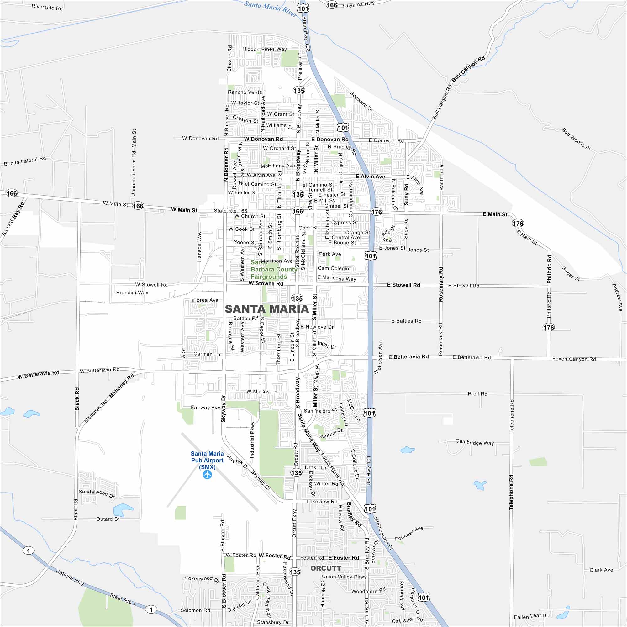
Here’s our map of Santa Maria, known for vineyards, barbecue, and a wide valley setting. Our map helps you explore the city and the surrounding wine country.
California State Maps
Explore California with our state maps


Map Information
On the Map
Interstates/Highways: US Hwy 101, State Rte 166, State Rte 135, State Rte 176, State Rte 1 Major Roads: Main St, Broadway, Betteravia Rd, Stowell Rd, Donovan Rd, Bradley Rd, Miller St, Blosser Rd, Foster Rd, Battles Rd, Alvin Ave, Santa Maria Way, McCoy Ln, Skyway Dr, College Dr, Nicholson Ave, Rosemary Rd, Philbric Rd, Depot St, Thornburg St Airports: Santa Maria Pub Airport (SMX) Major Rivers: Santa Maria River Nearby Communities: OrcuttCalifornia City Maps
Here are detailed maps of California


