Map of Santa Fe Springs, California
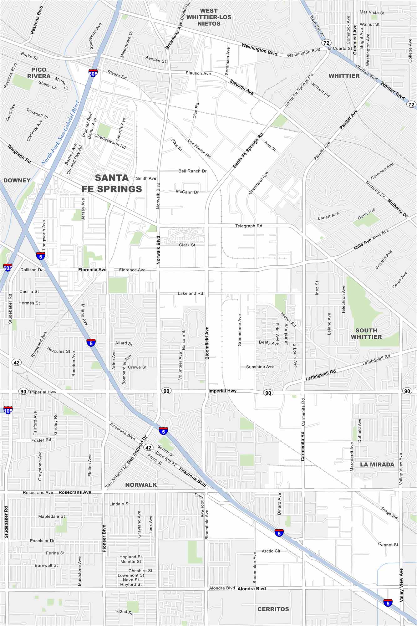
Our map of Santa Fe Springs highlights local parks, neighborhoods, and easy freeway access. It’s a small city with deep roots in Southern California’s growth.
California State Maps
Explore California with our state maps


Map Information
On the Map
Interstates/Highways: I-605, I-5, I-105, State Rte 72, State Rte 42, State Rte 90 Major Roads: Telegraph Rd, Florence Ave, Imperial Hwy, Rosecrans Ave, Washington Blvd, Whittier Blvd, Slauson Ave, Norwalk Blvd, Pioneer Blvd, Santa Fe Springs Rd, Greenleaf Ave, Painter Ave, Bloomfield Ave, Carmenita Rd, Shoemaker Ave, Valley View Ave, Los Nietos Rd, Smith Ave, Lakeland Rd, Meyer Rd Major Rivers: North Fork San Gabriel River Nearby Communities: Pico Rivera, West Whittier-Los Nietos, Whittier, Downey, South Whittier, Norwalk, La Mirada, CerritosCalifornia City Maps
Here are detailed maps of California


