Map of San Gabriel, California
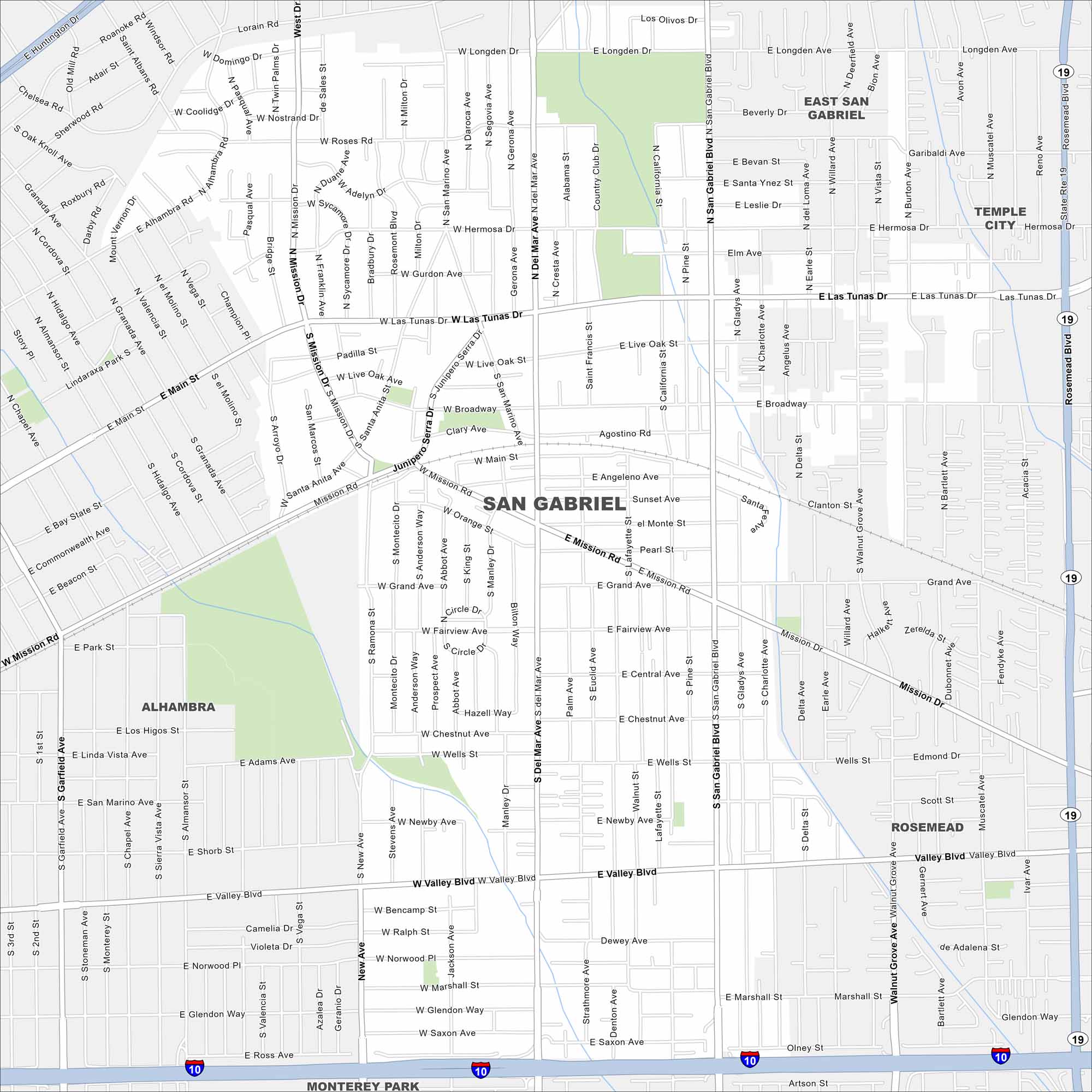
Check out our map of San Gabriel, California. The mission and local shops give the city its character. It’s really a historic part of the San Gabriel Valley.
California State Maps
Explore California with our state maps


Map Information
On the Map
Interstates/Highways: I-10, State Rte 19 Major Roads: San Gabriel Blvd, Del Mar Ave, Las Tunas Dr, Valley Blvd, Mission Rd, Main St, Broadway, Rosemead Blvd, California St, New Ave, Ramona St, Grand Ave, Wells St, Marshall St, Longden Ave, Hermosa Dr, Santa Anita Ave, Mission Dr, Prospect Ave, Chestnut Ave Nearby Communities: Alhambra, Rosemead, Temple City, Monterey Park, East San GabrielCalifornia City Maps
Here are detailed maps of California


