Map of San Fernando, California
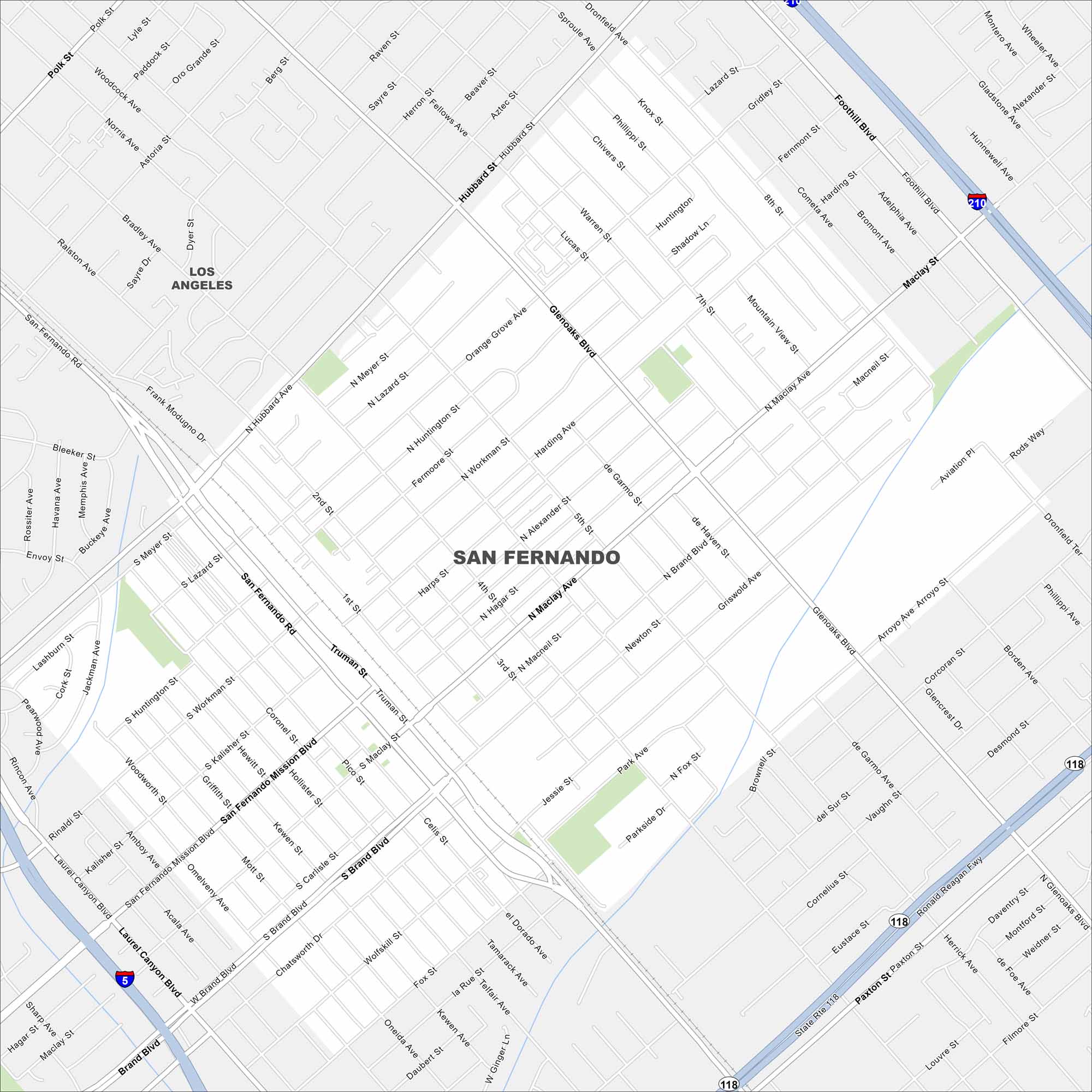
Our map of San Fernando shows the downtown streets and nearby mountain access. It’s a city with deep roots in the Valley. Use the map to get around with ease.
California State Maps
Explore California with our state maps


Map Information
On the Map
Interstates/Highways: I-5, I-210, State Rte 118, State Rte 14 Major Roads: San Fernando Mission Blvd, Brand Blvd, Laurel Canyon Blvd, Maclay Ave, Hubbard Ave, Glenoaks Blvd, Foothill Blvd, Truman St, San Fernando Rd, Paxton St, Wolfskill St, Chatsworth Dr, Rinaldi St, Kalisher St, Omelveny Ave, Mott St, Carlisle St, Celis St, Alexander St, Harding Ave Nearby Communities: Los AngelesCalifornia City Maps
Here are detailed maps of California


