Map of San Bruno, California
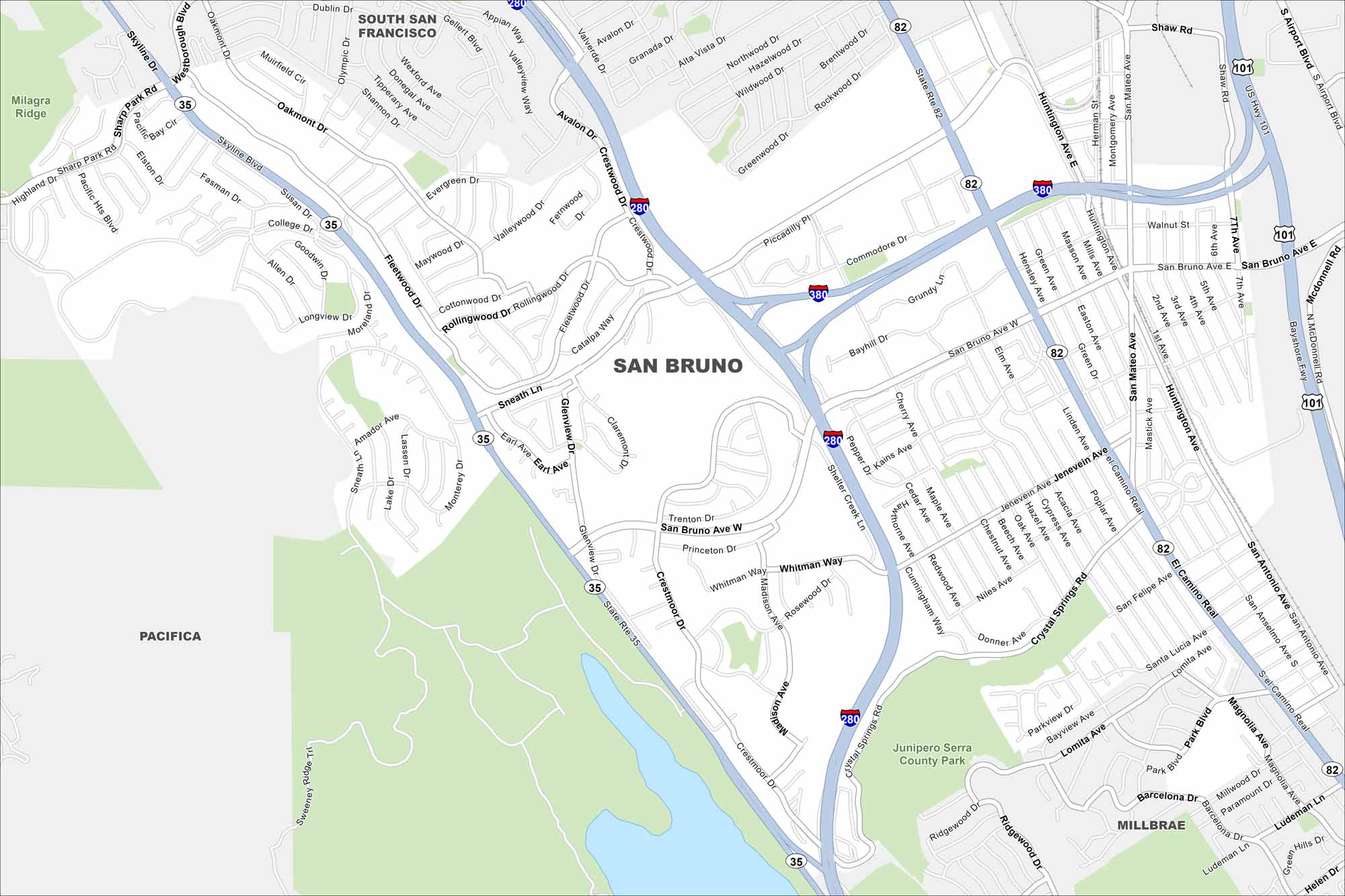
Our map of San Bruno shows the city near the airport and the bay. Explore local neighborhoods and routes on the slopes. It’s a small city with quick access to San Francisco.
California State Maps
Explore California with our state maps


Map Information
On the Map
Interstates/Highways: I-280, I-380, US Hwy 101, State Rte 82, State Rte 35 Major Roads: El Camino Real, San Bruno Ave W, San Bruno Ave E, Sneath Ln, Skyline Blvd, Huntington Ave, Crystal Springs Rd, Crestmoor Dr, Glenview Dr, Jenevein Ave, Cherry Ave, Bayhill Dr, Commodore Dr, Whitman Way, Sheltermount Dr, Rollingwood Dr, College Dr, Sharp Park Rd, San Mateo Ave, Mastick Ave Parks and Preserves: Junipero Serra County Park Nearby Communities: South San Francisco, Pacifica, MillbraeCalifornia City Maps
Here are detailed maps of California


