Map of Rohnert Park, California
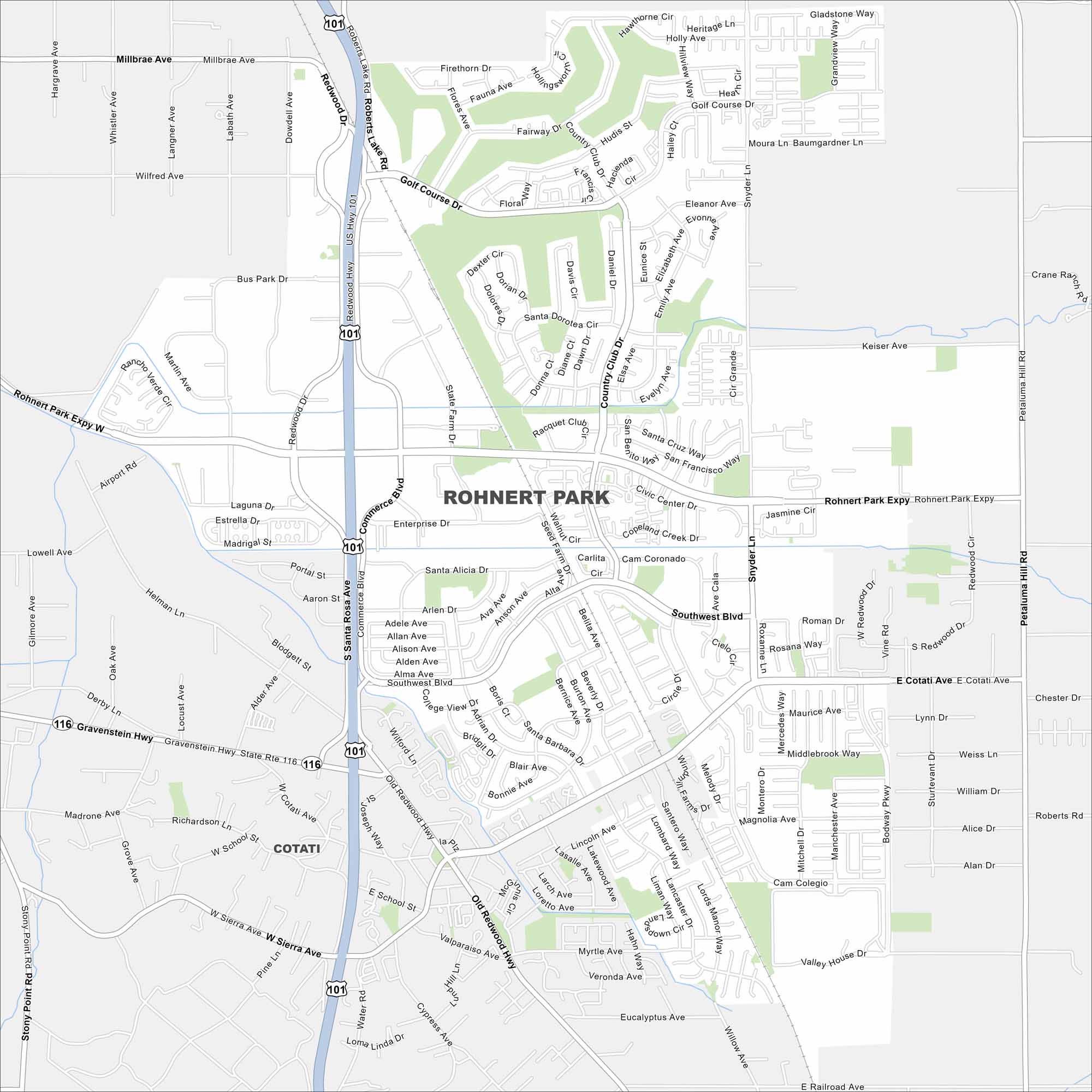
Here’s our map of Rohnert Park. You’ll find neighborhoods, Sonoma State University, and major roads all laid out. It’s one of the best maps to see how the city comes together.
California State Maps
Explore California with our state maps


Map Information
On the Map
Interstates/Highways: US Hwy 101, State Rte 116 Major Roads: Rohnert Park Expy, Commerce Blvd, Redwood Hwy, Golf Course Dr, Southwest Blvd, Snyder Ln, Petaluma Hill Rd, E Cotati Ave, W Cotati Ave, Country Club Dr, State Farm Dr, Old Redwood Hwy, Keiser Ave, Millbrae Ave, Wilfred Ave, Business Park Dr, Gravenstein Hwy, E Railroad Ave, Stony Point Rd, Main St Nearby Communities: CotatiCalifornia City Maps
Here are detailed maps of California


