Map of Ridgecrest, California
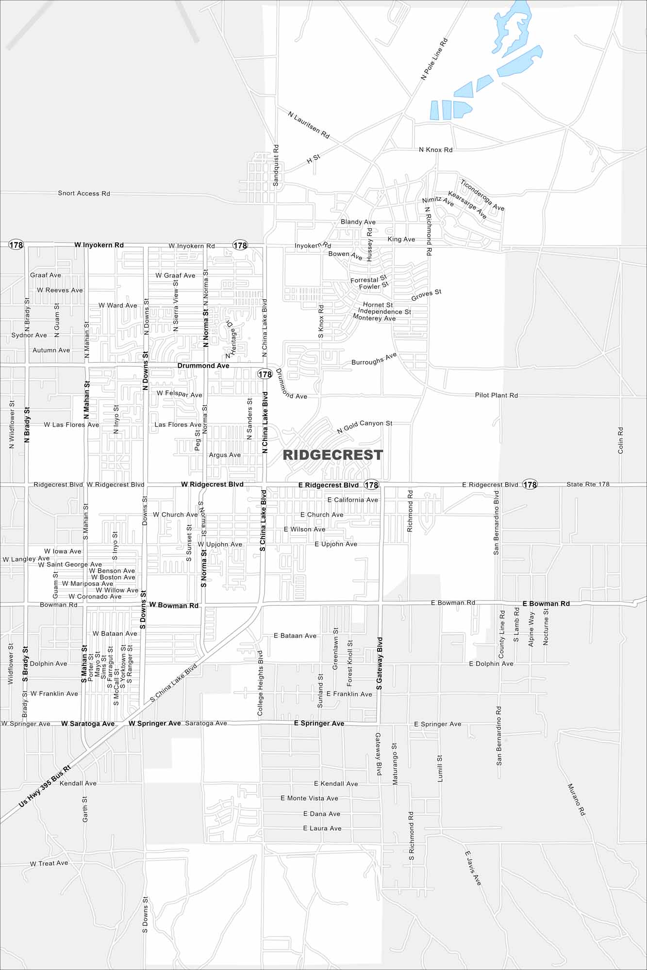
Our map of Ridgecrest shows the streets across the desert city. The highways stretch out toward the mountains and military base, giving a full sense of the area.
California State Maps
Explore California with our state maps


Map Information
On the Map
Interstates/Highways: State Rte 178 Major Roads: Ridgecrest Blvd, China Lake Blvd, Inyokern Rd, Bowman Rd, Drummond Ave, Ward Ave, Graaf Ave, Las Flores Ave, Felspar Ave, Argus Ave, California Ave, Wilson Ave, Upjohn Ave, Bataan Ave, Franklin Ave, Saratoga Ave, Springer Ave, Kendall Ave, Monte Vista Ave, Dana AveCalifornia City Maps
Here are detailed maps of California


