Map of Redlands, California
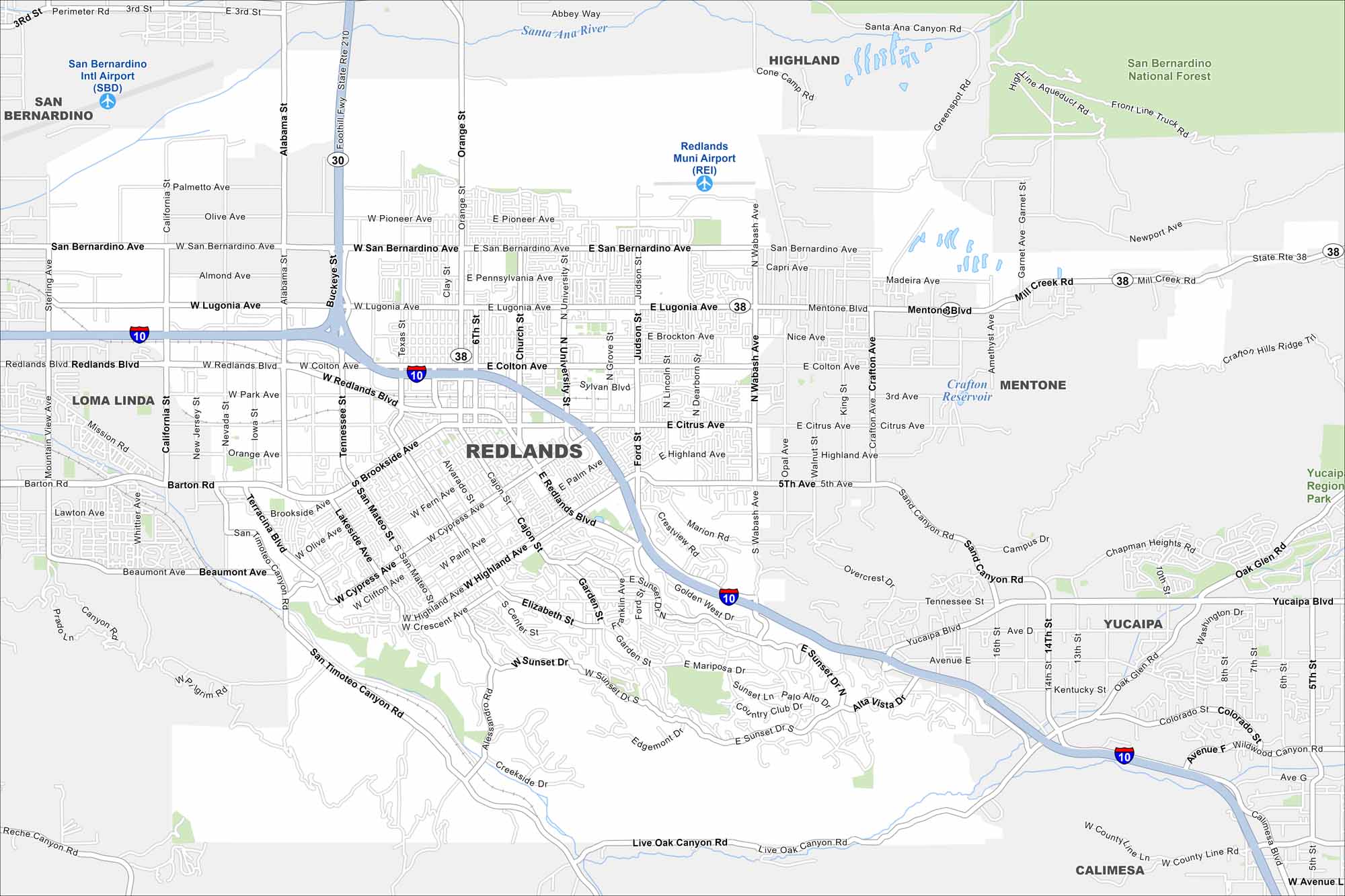
Redlands mixes a lot of history with views of the San Bernardino Mountains. Use our road map to get around its preserved downtown, citrus groves and neighborhoods.
California State Maps
Explore California with our state maps


Map Information
On the Map
Interstates/Highways: I-10, State Rte 38, State Rte 30, State Rte 210 Major Roads: Redlands Blvd, Luguna Ave, San Bernardino Ave, Citrus Ave, Highland Ave, Colton Ave, Barton Rd, Alabama St, Wabash Ave, University St, Judson St, Ford St, Cypress Ave, Sunset Dr, Mariposa Dr, Live Oak Canyon Rd, County Line Rd, California St, Tennessee St, Orange St Airports: Redlands Muni Airport (REI), San Bernardino Intl Airport (SBD) Lakes and Reservoirs: Crafton Reservoir Major Rivers: Santa Ana River Parks and Preserves: San Bernardino National Forest, Yucalpa Region Park Nearby Communities: Redlands, San Bernardino, Loma Linda, Highland, Mentone, Yucaipa, CalimesaCalifornia City Maps
Here are detailed maps of California


