Map of Red Bank Borough, New Jersey
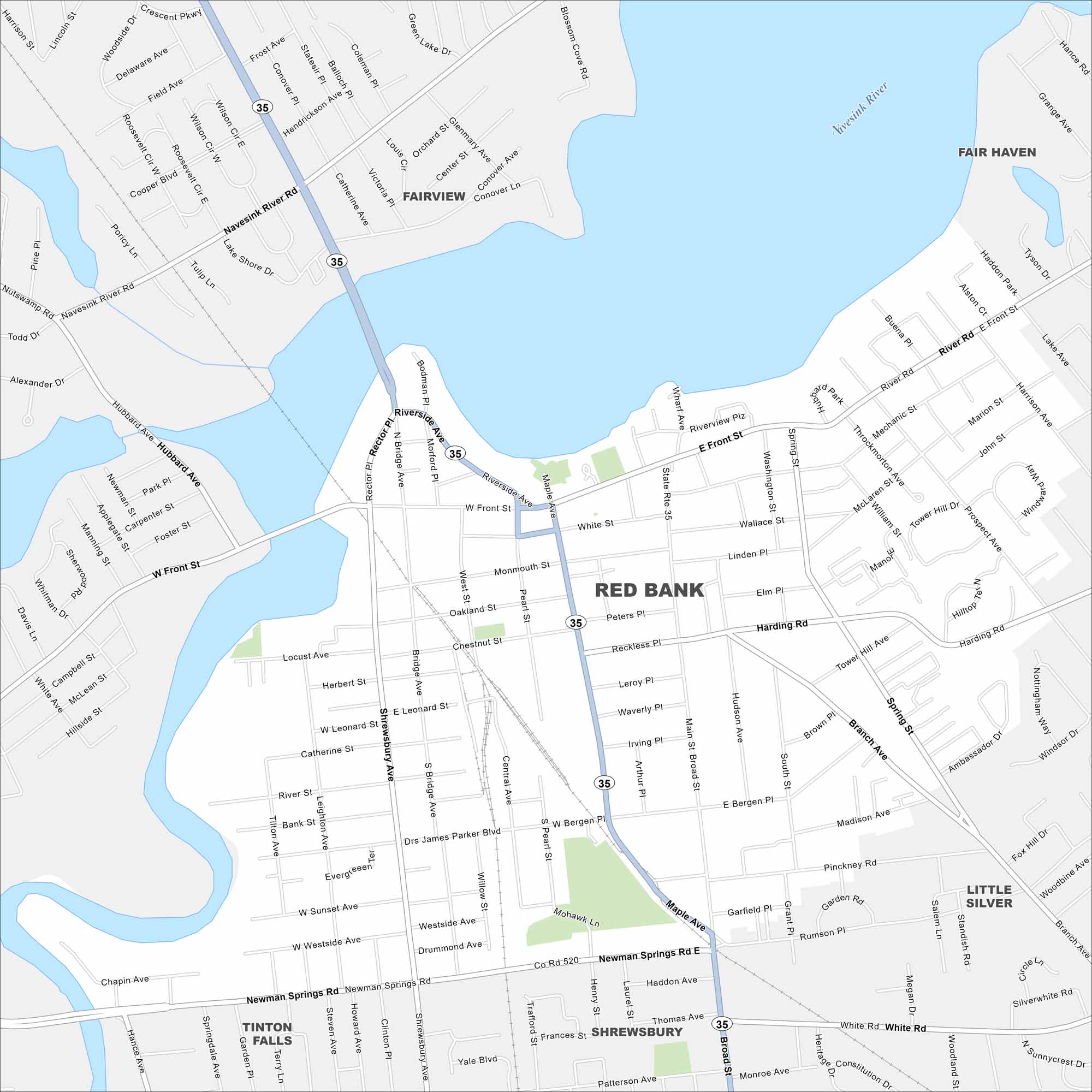
Red Bank sits along the Navesink River and is known for its arts and music scene. The Count Basie Center for the Arts is one of its anchors. Our map highlights the small downtown and riverside streets.
Map Information
On the Map
Interstates/Highways: State Rte 35 Major Roads: Front St, Monmouth St, Newman Springs Rd, Broad St, Riverside Ave, Shrewsbury Ave, Bridge Ave, Rector Pl, Maple Ave, White St, Bergen Pl, Harding Rd, Branch Ave, Rumson Rd, Navesink River Rd, Hubbard Ave, Water St, Westside Ave, Pinckney Rd, Sycamore Ave Major Rivers: Navesink River Nearby Communities: Fairview, Fair Haven, Little Silver, Shrewsbury, Tinton FallsNew Jersey State Maps
Explore maps from the Garden State.


City Maps of New Jersey
Newark and New Jersey cities in complete detail


