Map of Rancho Cucamonga, California
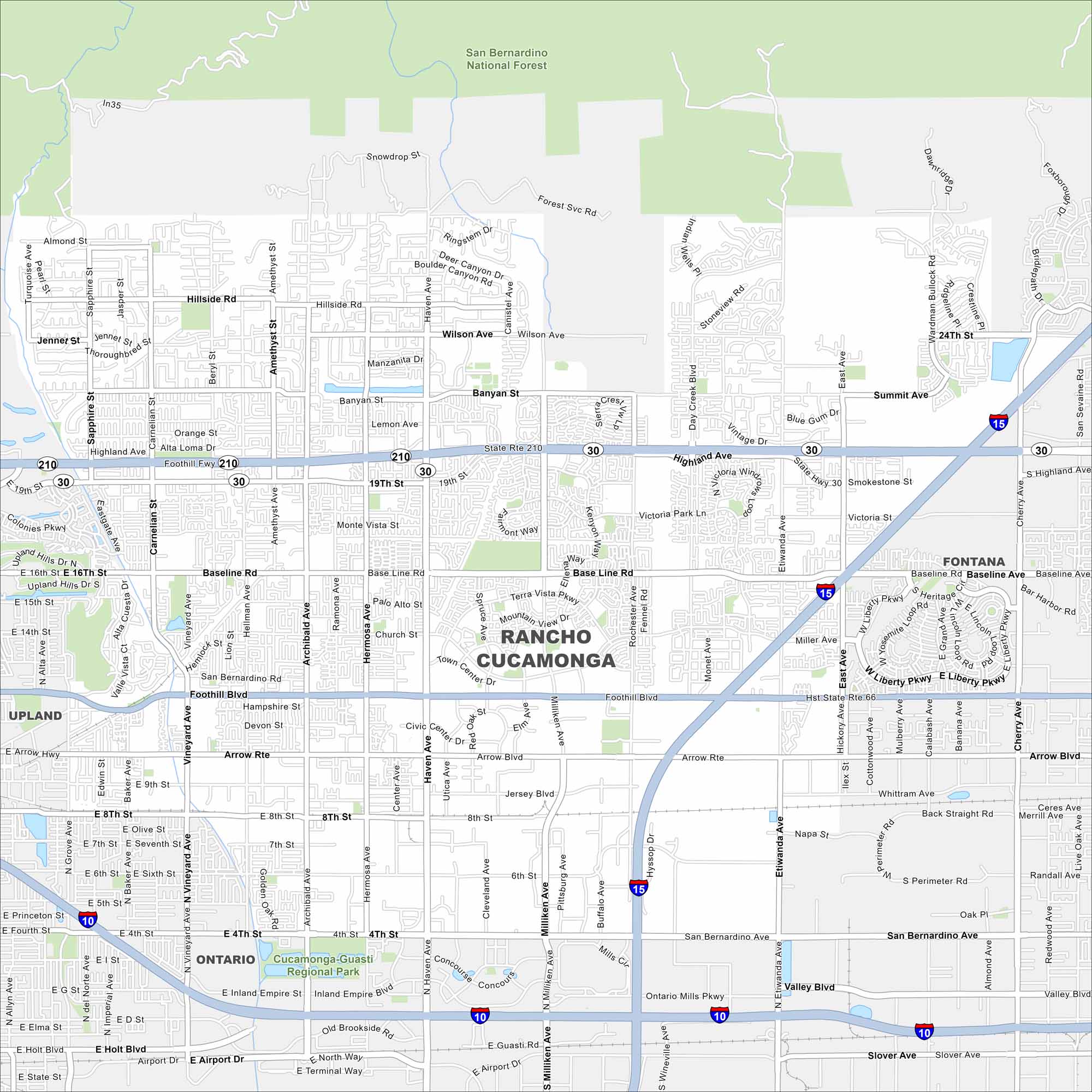
You can find Rancho Cucamonga, California at the base of the San Gabriel Mountains. Our map makes it simple to navigate its freeways and neighborhoods. Victoria Gardens is one of its top destinations here.
California State Maps
Explore California with our state maps


Map Information
On the Map
Interstates/Highways: I-10, I-15, State Rte 210 Major Roads: Foothill Blvd, Base Line Rd, Highland Ave, 4th St, 19th St, Haven Ave, Milliken Ave, Etiwanda Ave, Vineyard Ave, Archibald Ave, Cherry Ave, Arrow Rte, Rochester Ave, Day Creek Blvd, San Bernardino Rd, Hellman Ave, Carnelian St, Sapphire St, Banyan St, Wilson Ave Parks and Preserves: San Bernardino National Forest, Cucamonga-Guasti Regional Park Nearby Communities: Fontana, Ontario, UplandCalifornia City Maps
Here are detailed maps of California


