Map of Plainfield, New Jersey
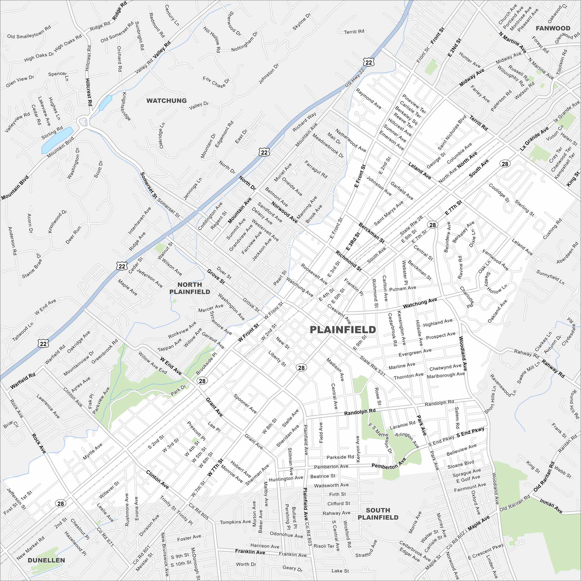
Plainfield lies just west of Staten Island with easy commuter routes into New York City. Our map highlights its grid of streets and highways.
Map Information
On the Map
Interstates/Highways: US Hwy 22, State Rte 28 Major Roads: Front St, Central Ave, Park Ave, South Ave, Terrill Rd, Plainfield Ave, Watchung Ave, Woodland Ave, Leland Ave, Clinton Ave, West End Ave, Somerset St, Mountain Ave, Valley Rd, New Market Rd, New Brunswick Ave, Randolph Rd, Inman Ave, Maple Ave, Rahway Rd Nearby Communities: Watchung, North Plainfield, South Plainfield, Dunellen, FanwoodNew Jersey State Maps
Explore maps from the Garden State.


City Maps of New Jersey
Newark and New Jersey cities in complete detail


