Map of Petaluma, California
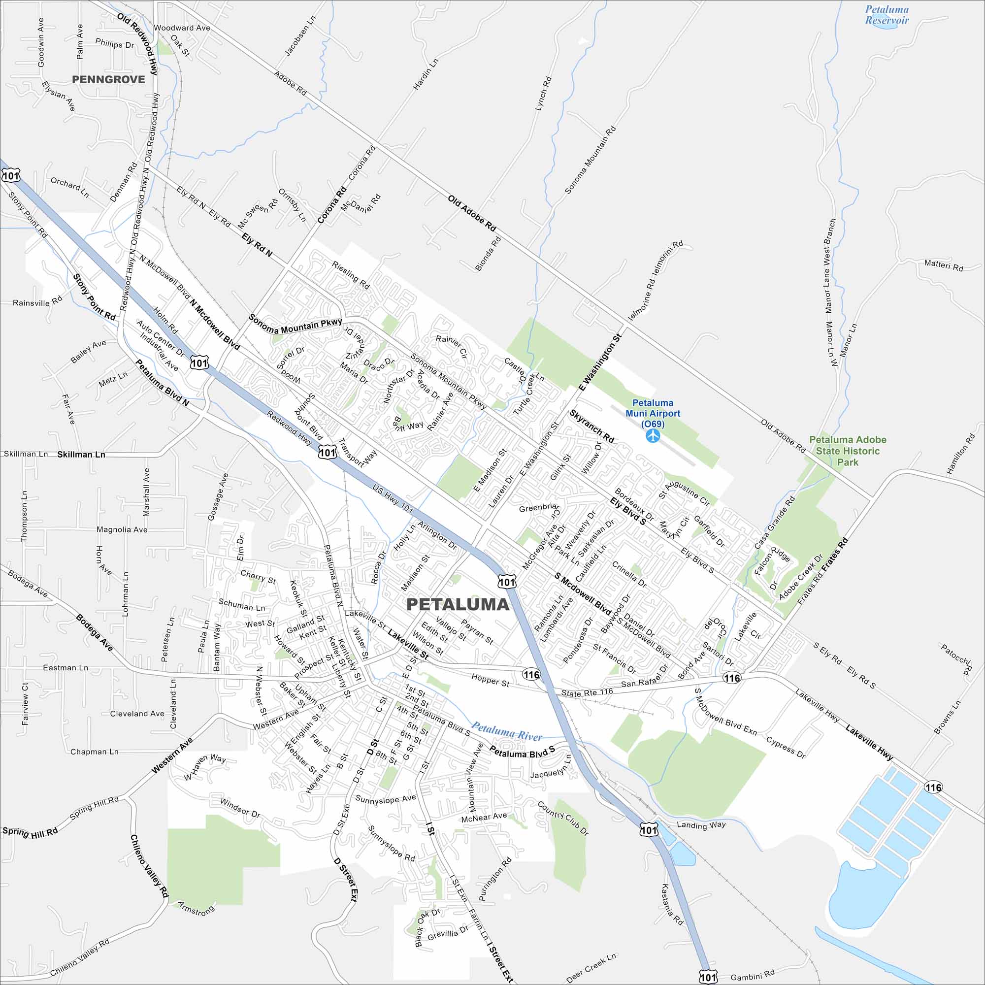
Petaluma sits along the Petaluma River in Sonoma County. Our map highlights its historic downtown and surrounding farmland. The city is also known for its ties to ranching and wine country.
California State Maps
Explore California with our state maps


Map Information
On the Map
Interstates/Highways: US Hwy 101, State Rte 116 Major Roads: Washington St, Petaluma Blvd N, Petaluma Blvd S, McDowell Blvd, Lakeville St, Bodega Ave, Sonoma Mountain Pkwy, Ely Rd, Old Adobe Rd, Adobe Rd, Corona Rd, Skillman Ln, Western Ave, Casa Grande Rd, Frates Rd, Cypress Dr, Caulfield Ln, Lynch Rd, Chileno Valley Rd, I St Airports: Petaluma Muni Airport (O69) Lakes and Reservoirs: Petaluma Reservoir Major Rivers: Petaluma River Parks and Preserves: Petaluma Adobe State Historic Park Nearby Communities: PenngroveCalifornia City Maps
Here are detailed maps of California


