Map of Perris, California
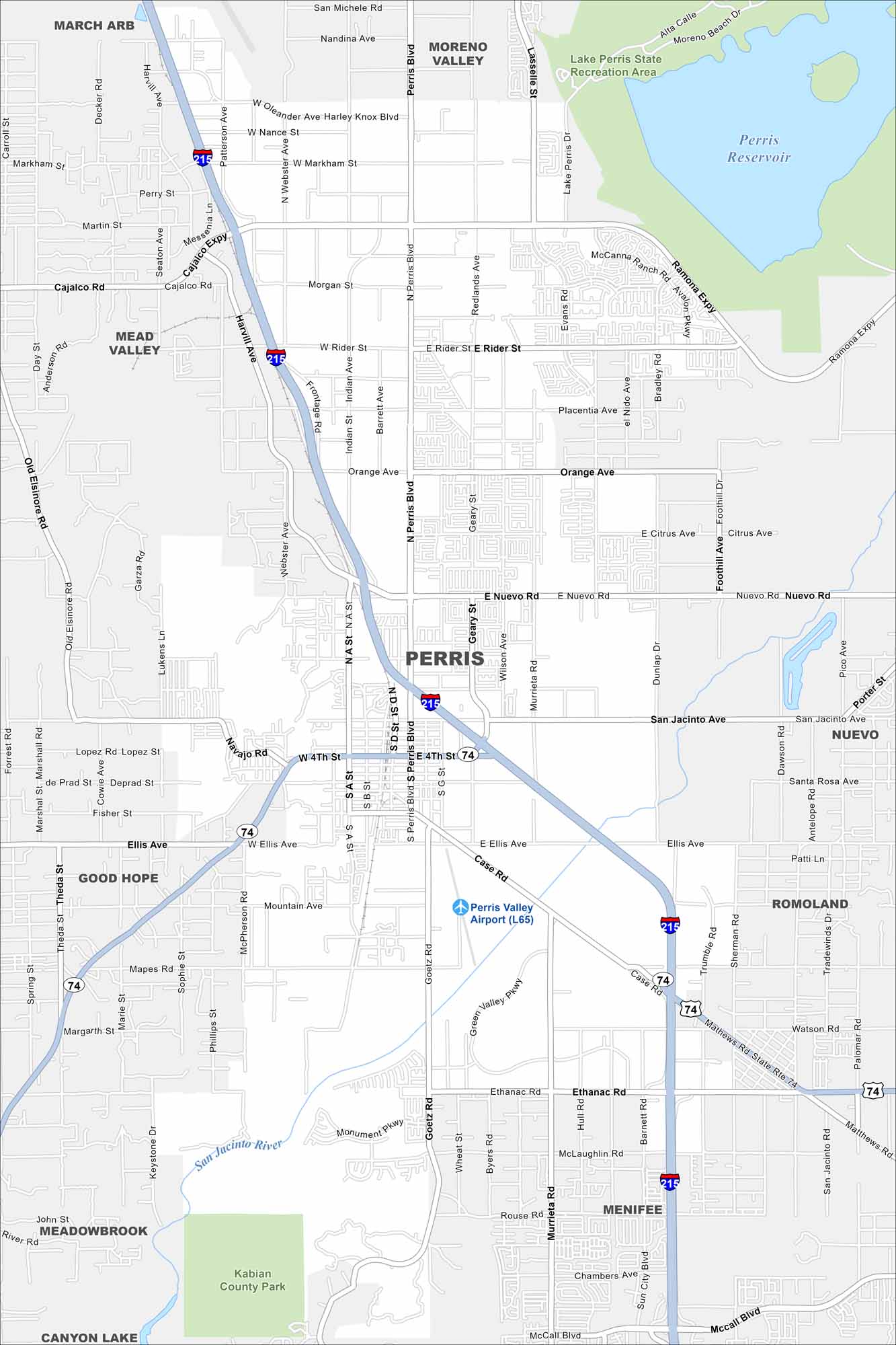
Our map of Perris shows a city surrounded by rolling hills and open land. Highways cut through, linking it to Riverside and San Diego County. Lake Perris and its recreation area stand out on the map.
California State Maps
Explore California with our state maps


Map Information
On the Map
Interstates/Highways: I-215, State Rte 74 Major Roads: Perris Blvd, Case Rd, Ethanac Rd, Ramona Expy, San Jacinto Ave, Cajalco Rd, Harvill Ave, Goetz Rd, Murrieta Rd, Nuevo Rd, Orange Ave, Ellis Ave, Evans Rd, Placentia Ave, Rider St, 4th St, Morgan St, Oleander Ave, Webster Ave, Bradley Rd Airports: Perris Valley Airport (L65) Lakes and Reservoirs: Perris Reservoir Major Rivers: San Jacinto River Parks and Preserves: Lake Perris State Recreation Area, Kabian County Park Nearby Communities: Moreno Valley, Mead Valley, Good Hope, Meadowbrook, Menifee, Romoland, NuevoCalifornia City Maps
Here are detailed maps of California


