Map of Patterson, California
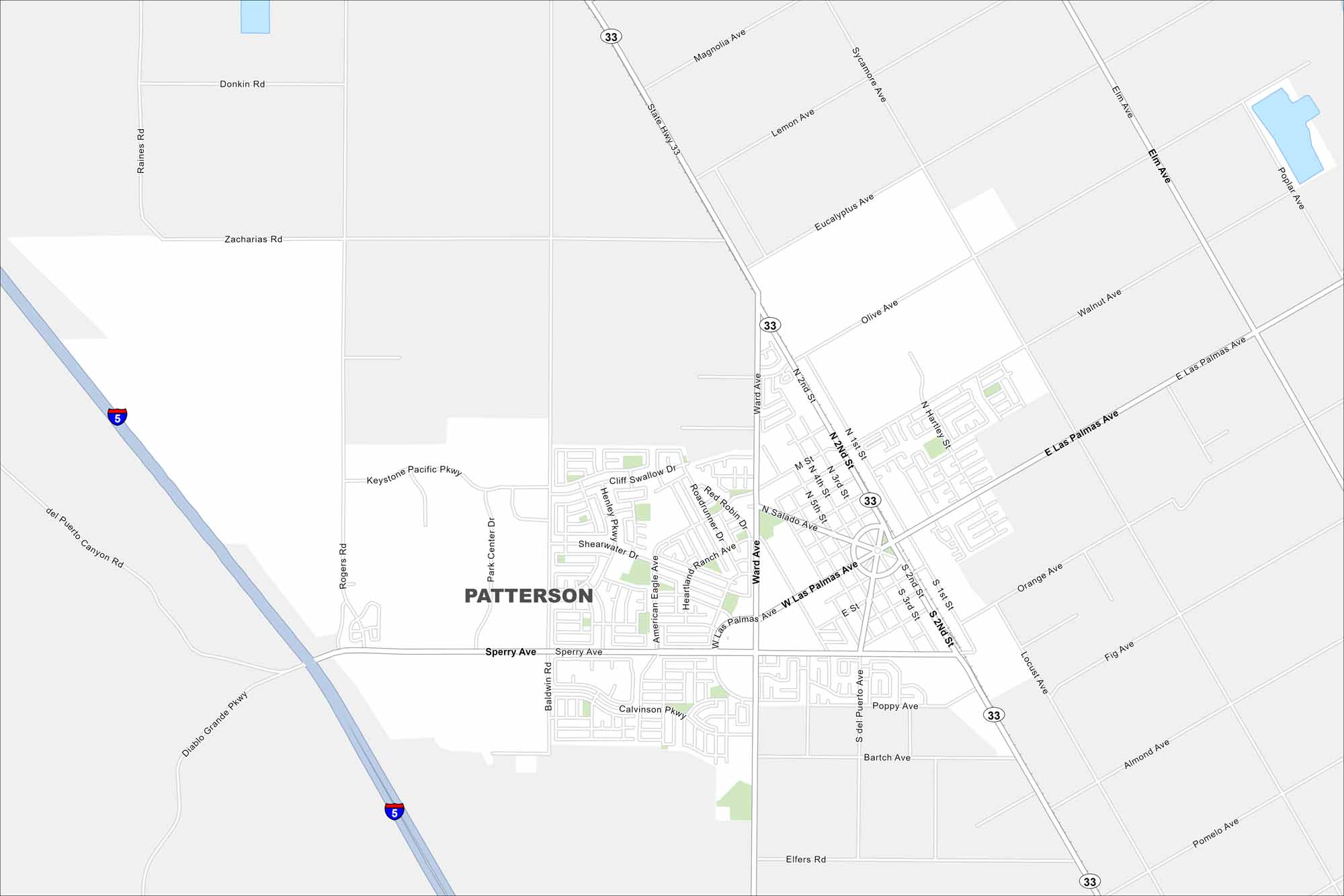
Our map of Patterson shows a small city at the base of the Diablo Range. It’s surrounded by farmland in the Central Valley. The town is often called the “Apricot Capital of the World”.
California State Maps
Explore California with our state maps


Map Information
On the Map
Interstates/Highways: I-5, State Hwy 33 Major Roads: Las Palmas Ave, Sperry Ave, Ward Ave, Eucalyptus Ave, Walnut Ave, Olive Ave, Lemon Ave, Magnolia Ave, Poplar Ave, Fig Ave, Orange Ave, Almond Ave, Rogers Rd, Baldwin Rd, Park Center Dr, Keystone Pacific Pkwy, American Eagle Ave, Salado Ave, Hartley St, 2nd StCalifornia City Maps
Here are detailed maps of California


