Map of Paterson, New Jersey
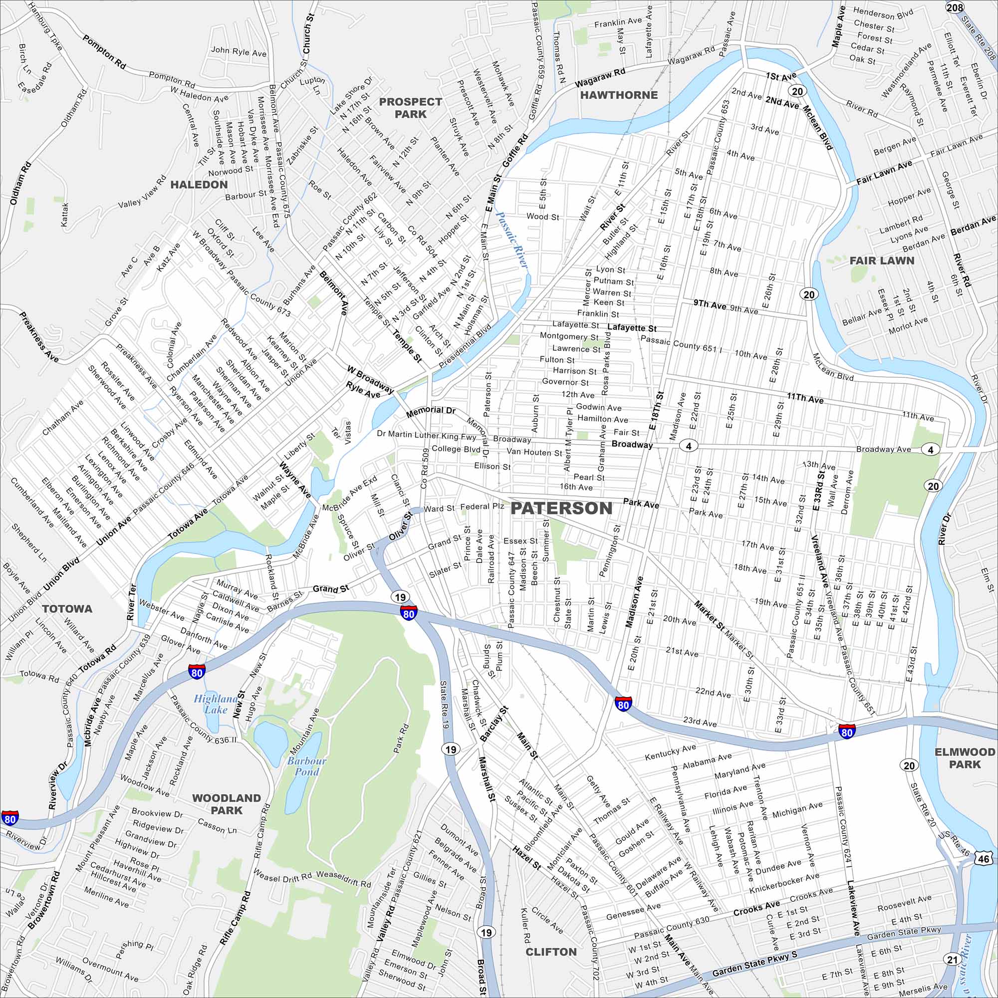
Our map of Paterson highlights a city built around the Great Falls of the Passaic River. Streets spread from the historic mills that powered early industry. The falls remain a centerpiece in the city today.
Map Information
On the Map
Interstates/Highways: I-80, State Rte 208, State Rte 19, State Rte 20 Major Roads: Broadway, Main St, Market St, Madison Ave, Union Blvd, Totowa Ave, River St, Grand St, Getty Ave, Crooks Ave, Mcbride Ave, W Broadway, Chamberlain Ave, Presidential Blvd, Straight St, Hazel St, 5th Ave, 10th Ave, 20th Ave, 21st Ave Lakes and Reservoirs: Barbour Pond, Highland Lake Major Rivers: Passaic River Nearby Communities: Haledon, Prospect Park, Hawthorne, Fair Lawn, Totowa, Woodland Park, Clifton, Elmwood ParkNew Jersey State Maps
Explore maps from the Garden State.


City Maps of New Jersey
Newark and New Jersey cities in complete detail


