Map of Passaic, New Jersey
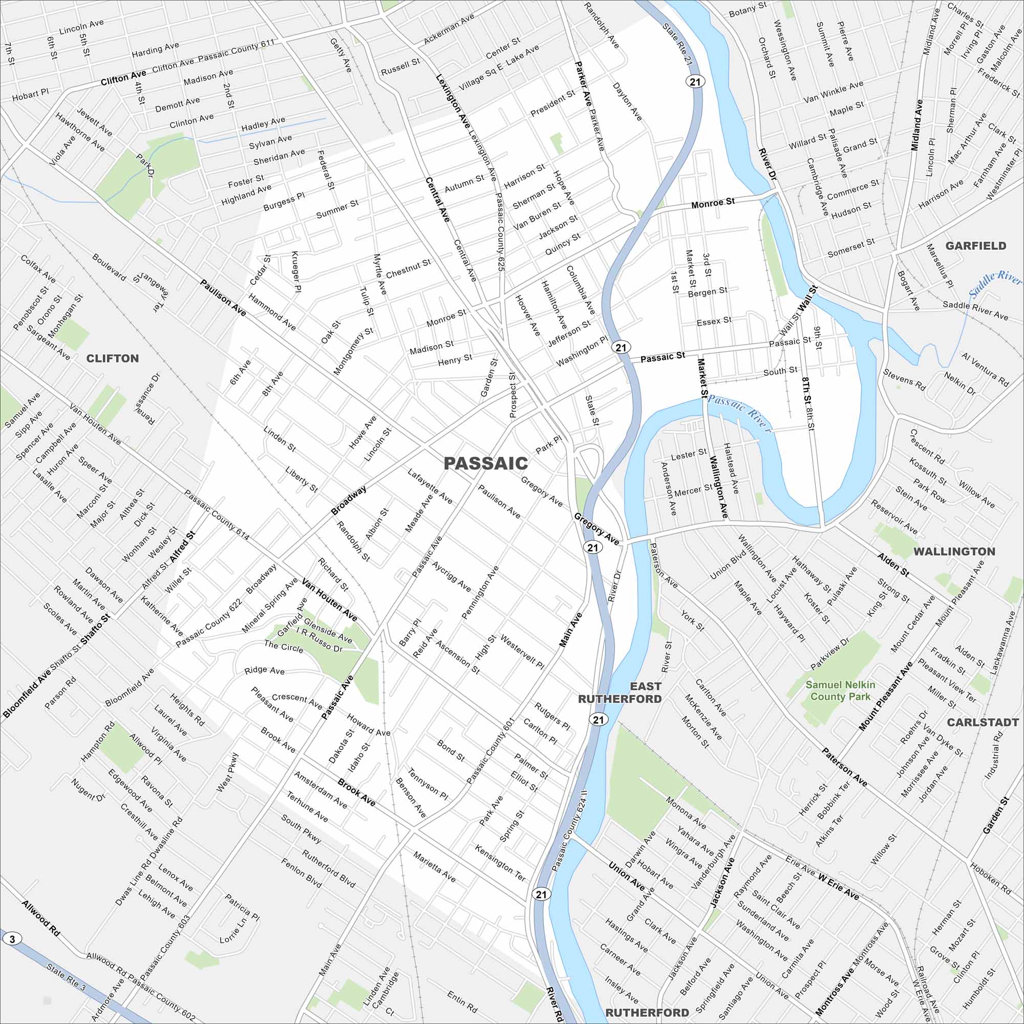
Check out Passaic on the Passaic River in northern New Jersey. Our map shows a dense grid of neighborhoods and downtown streets. It’s long been a hub for immigrants and industry.
Map Information
On the Map
Interstates/Highways: State Rte 21, State Rte 3 Major Roads: Main Ave, Broadway, Passaic Ave, Gregory Ave, Market St, Central Ave, River Dr, Union Ave, Wall St, Main St, Van Houten Ave, Paulison Ave, Monroe St, Dayton Ave, Highland Ave, Lexington Ave, Park Ave, Brook Ave, Terhune Ave, Kingsland Rd Airports: Passaic River, Saddle River Parks and Preserves: Samuel Nelkin County Park Nearby Communities: Clifton, Garfield, East Rutherford, Wallington, Alden St, Carlstadt, RutherfordNew Jersey State Maps
Explore maps from the Garden State.


City Maps of New Jersey
Newark and New Jersey cities in complete detail


