Map of Paramus Borough, New Jersey
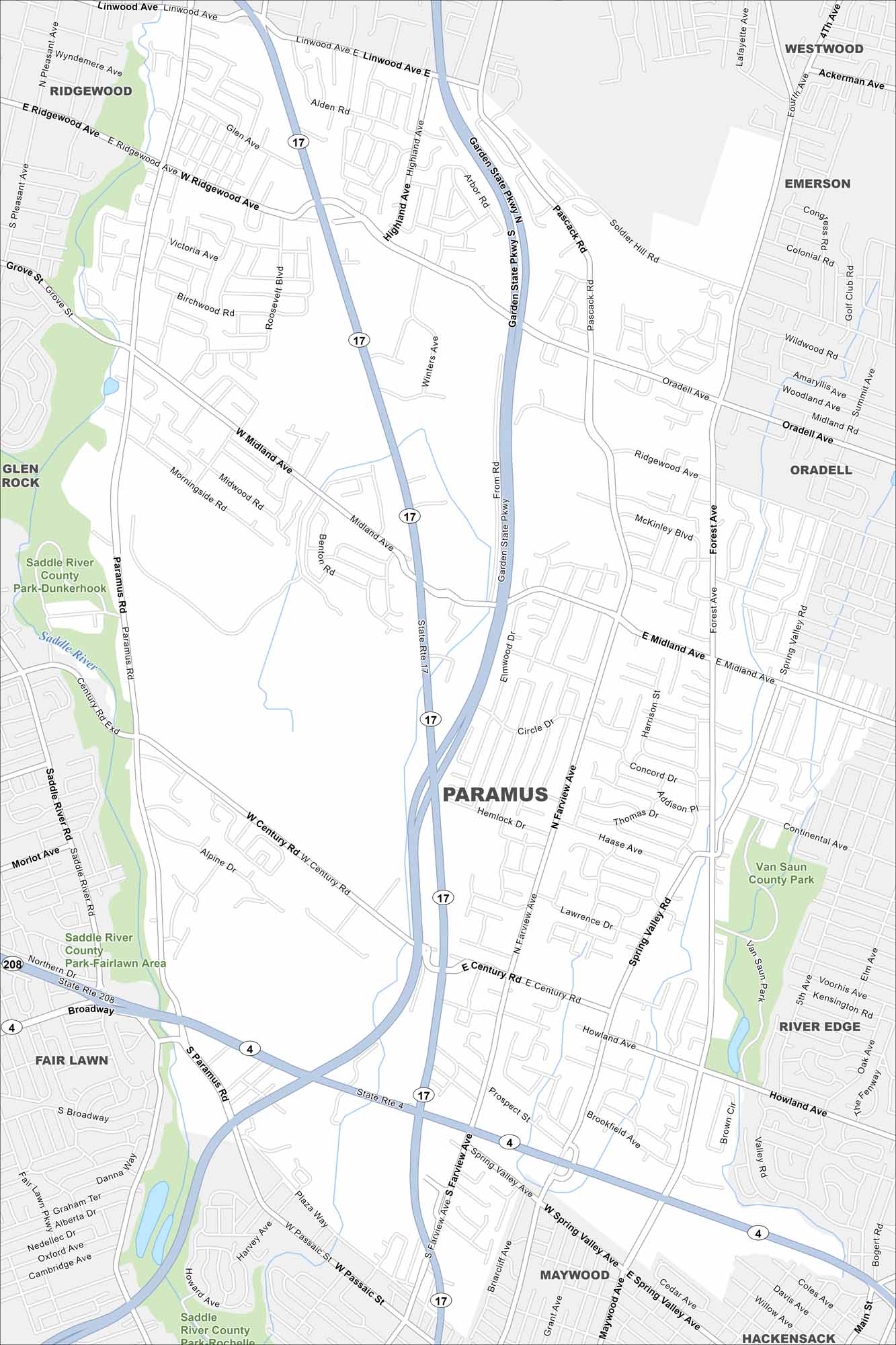
Our map of Paramus highlights a borough best known for its shopping centers. Highways cut through, connecting malls, neighborhoods, and parks. It’s one of the busiest retail hubs in the state.
Map Information
On the Map
Interstates/Highways: State Rte 17, State Rte 4, State Rte 208 Major Roads: Garden State Pkwy, Paramus Rd, Farview Ave, Spring Valley Ave, Passaic St, Century Rd, Midland Ave, Ridgewood Ave, Linwood Ave, Glen Ave, Grove St, Soldier Hill Rd, Oradell Ave, Forest Ave, Howland Ave, Prospect St, Cedar Ave, Plaza Way, Broadway, Main St Lakes and Reservoirs: Saddle River Parks and Preserves: Saddle River County Park, Van Saun County Park Nearby Communities: Ridgewood, Westwood, Emerson, Glen Rock, Oradell, Fair Lawn, River Edge, Maywood, HackensackNew Jersey State Maps
Explore maps from the Garden State.


City Maps of New Jersey
Newark and New Jersey cities in complete detail


