Map of Palmdale, California
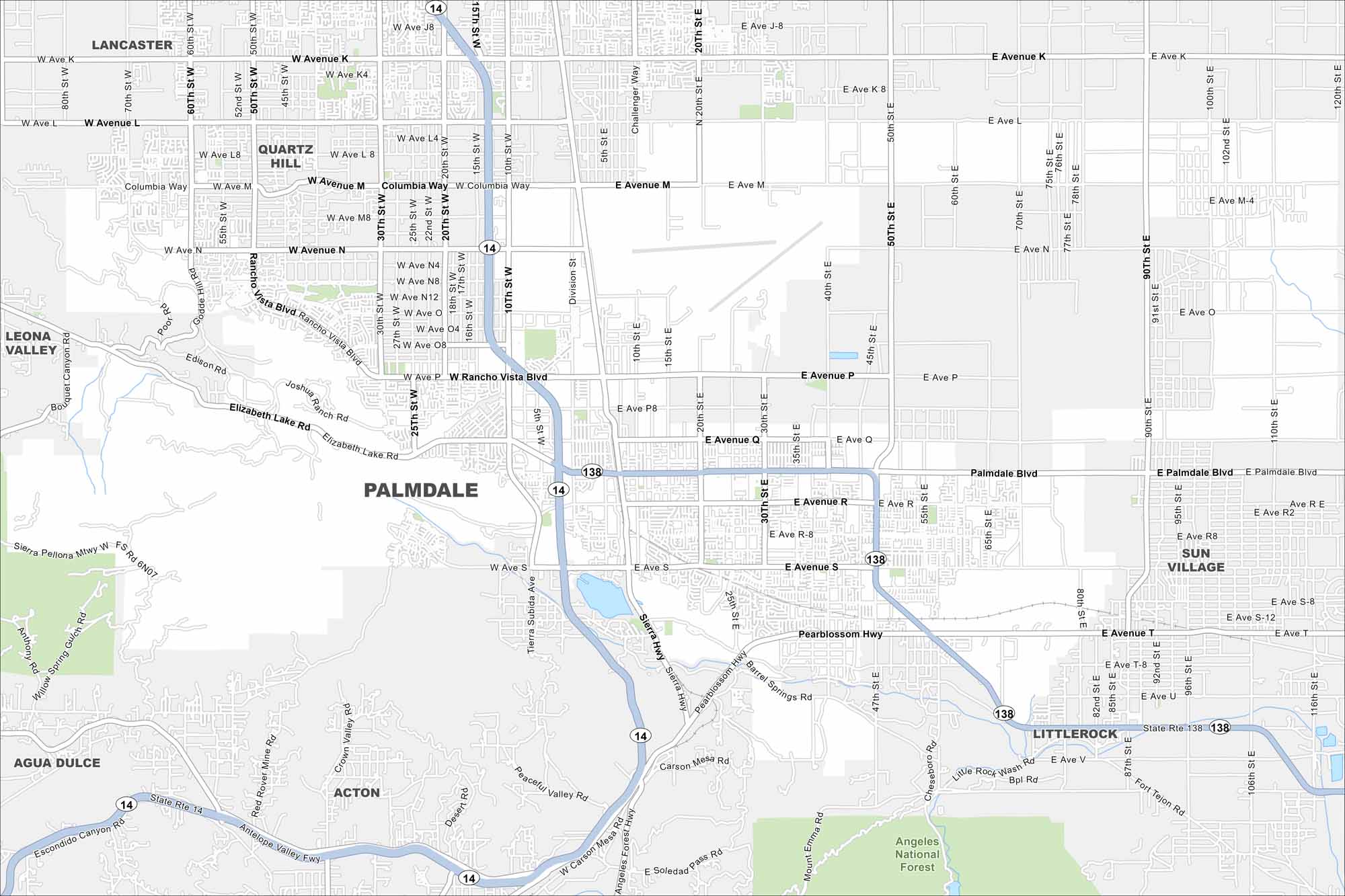
Take a look at Palmdale on the edge of the Mojave Desert. Our map shows wide suburban developments framed by dry hills. Aerospace has played a big role in the city’s history.
California State Maps
Explore California with our state maps


Map Information
On the Map
Interstates/Highways: State Rte 14, State Rte 138 Major Roads: Avenue K, Avenue L, Avenue M, Avenue N, Avenue P, Avenue Q, Avenue R, Avenue S, Avenue T, Palmdale Blvd, Rancho Vista Blvd, Pearblossom Hwy, Elizabeth Lake Rd, Sierra Hwy, 20th St, 50th St, 10th St, 30th St, 47th St, 90th St Parks and Preserves: Angeles National Forest Nearby Communities: Lancaster, Quartz Hill, Leona Valley, Agua Dulce, Acton, Sun Village, LittlerockCalifornia City Maps
Here are detailed maps of California


