Map of Palisades Park Borough, New Jersey
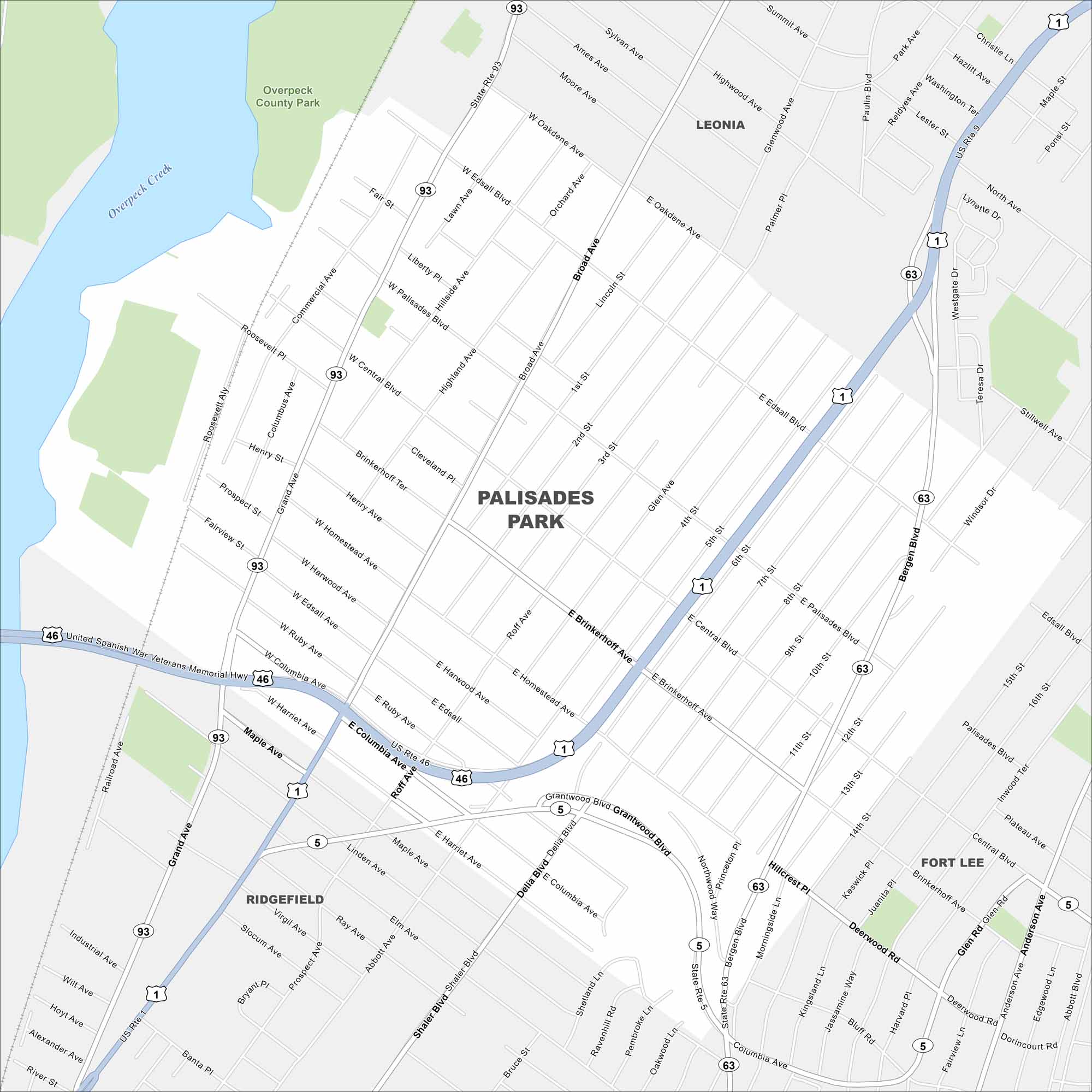
Our map of Palisades Park shows a compact borough just across the Hudson from Manhattan. Dense neighborhoods fill the grid of streets. The area is also known for its Korean community.
Map Information
On the Map
Interstates/Highways: US Rte 46, US Rte 9, US Rte 1, State Rte 93, State Rte 63, State Rte 5 Major Roads: Broad Ave, Grand Ave, Bergen Blvd, Central Blvd, Palisades Blvd, Columbia Ave, Edgewater Rd, Shaler Blvd, Delia Blvd, Grantwood Blvd, Brinkerhoff Ave, Homestead Ave, Harwood Ave, Edsall Blvd, Oakdene Ave, Glenwood Ave, Highwood Ave, Sylvan Ave, Summit Ave, Park Ave Major Rivers: Overpeck Creek Parks and Preserves: Overpeck County Park Nearby Communities: Leonia, Fort Lee, RidgefieldNew Jersey State Maps
Explore maps from the Garden State.


City Maps of New Jersey
Newark and New Jersey cities in complete detail


