Map of Pacifica, California
Take a look at Pacifica stretched along the cliffs and beaches south of San Francisco. The map highlights coastal neighborhoods separated by rugged hills. Surfers and hikers come here for its ocean views and trails.
California State Maps
Explore California with our state maps


Map Information
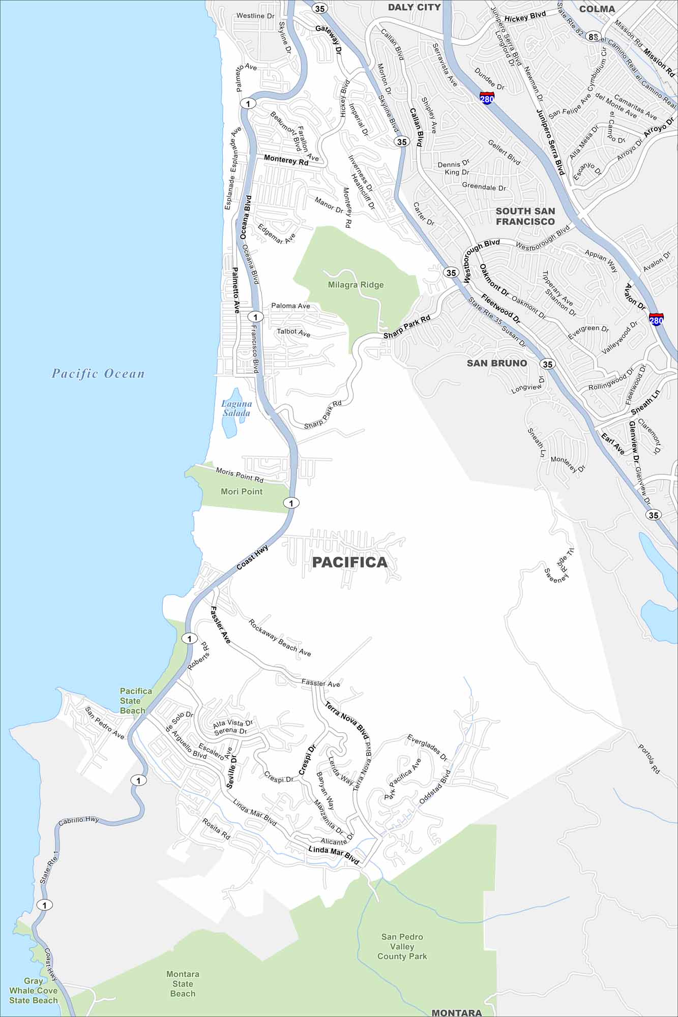
On the Map
Interstates/Highways: State Rte 1, State Rte 35, I-280, State Rte 82, Coast Hwy Major Roads: Skyline Blvd, Sharp Park Rd, Fassler Ave, Linda Mar Blvd, Terra Nova Blvd, Oddstad Blvd, Rosita Rd, Hickey Blvd, Westborough Blvd, Palmetto Ave, Oceana Blvd, Francisco Blvd, Manor Dr, Glencourt Wy, Junipero Serra Blvd, Mission Rd, Gellert Blvd, Callan Blvd, Serramonte Blvd Lakes and Reservoirs: Pacific Ocean, Laguna Salada Parks and Preserves: Milagra Ridge, San Pedro Valley County Park, Pacifica State Beach, Montara State Beach, Gray Whale Cove State Beach Nearby Communities: Daly City, South Francisco, San Bruno, Colma, MontaraCalifornia City Maps
Here are detailed maps of California


