Oklahoma National Parks and Forests Map
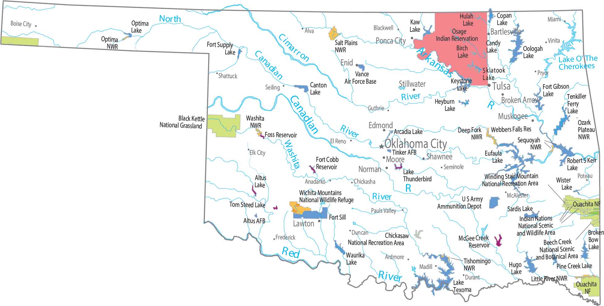
There are no national parks in Oklahoma. But the Ouachita National Forest reaches into the southeast corner of the state. Our map shows federal lands like Chickasaw National Recreation Area and Wichita Mountains Wildlife Refuge.
Map Information
On the Map
Parks, Forests and Federal Lands
National Forests (NF): Ouachita NF National Wildlife Refuges (NWR): Deep Fork NWR, Little River NWR, Optima NWR, Ozark Plateau NWR, Salt Plains NWR, Sequoyah NWR, Tishomingo NWR, Washita NWR, Wichita Mountains NWR Federal Lands: Beech Creek National Scenic and Botanical Area, Black Kettle National Grassland, Chickasaw National Recreation Area, Fort Gibson Lake, Indian Nations National Scenic and Wildlife Area, Rita Blanca National Grassland, Winding Stair Mountain National Recreation Area Indian Reserves (IR): Osage IR Army, Naval and Military: Altus Air Force Base, Fort Sill, Sardis Lake US Army, Tinker Air Force Base, Vance Air Force BaseLand Information
State Capital: Oklahoma City Major Cities: Broken Arrow, Edmond, Lawton, Norman, Tulsa Cities and Towns: Alva, Anadarko, Ardmore, Bartlesville, Blackwell, Boise City, Chickasha, Duncan, Durant, Elk City, Enid, Frederick, Guthrie, Madill, McAlester, Miami, Moore, Muskogee, Pauls Valley, Ponca City, Poteau, Seiling, Seminole, Shattuck, Shawnee, Stillwater, Sulphur, Tahlequah, Vinita Lakes and Reservoirs: Broken Bow Lake, Eufaula Lake, Hugo Lake, Lake o’ the Cherokees, Lake Oolagah, Lake Texoma, Robert S. Kerr Reservoir, Waurika Lake Rivers and Streams: Arkansas River, Canadian River, Cimarron River, Red River, Washita RiverOklahoma State Maps
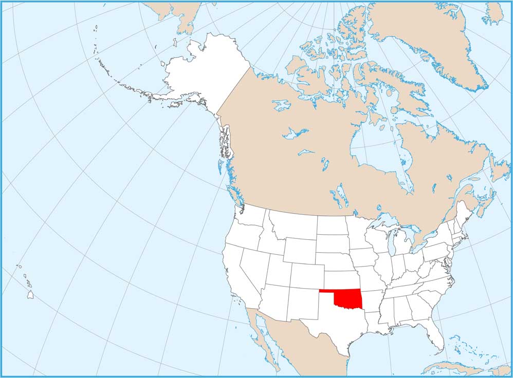
Here is our map collection of the Sooner State.


