Map of Oakdale, California
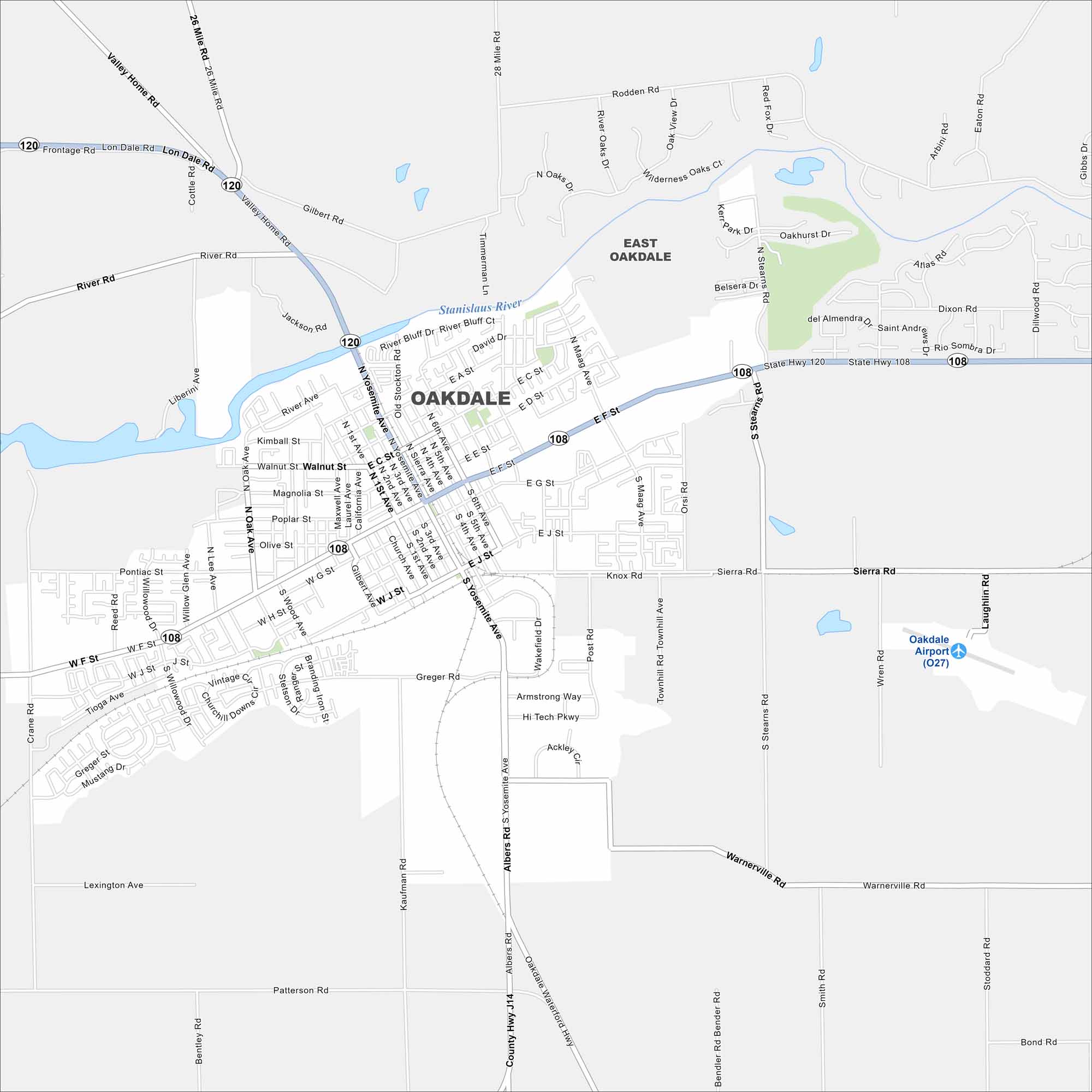
Oakdale sits on the Stanislaus River in the San Joaquin Valley. Our map highlights its grid-like streets surrounded by farmland. It calls itself the “Cowboy Capital of the World”.
California State Maps
Explore California with our state maps


Map Information
On the Map
Interstates/Highways: State Hwy 108, State Hwy 120 Major Roads: Yosemite Ave, Maag Ave, Stearns Rd, Sierra Rd, Warnerville Rd, Albers Rd, Valley Home Rd, 26 Mile Rd, 28 Mile Rd, Rodden Rd, River Rd, Gilbert Rd, Crane Rd, Greger Rd, Patterson Rd, Bentley Rd, Kaufman Rd, Laughlin Rd, Oak View Dr, Oakhurst Dr Airports: Oakdale Airport (O27) Major Rivers: Stanislaus River Nearby Communities: East OakdaleCalifornia City Maps
Here are detailed maps of California


