Map of Oak Creek, Wisconsin
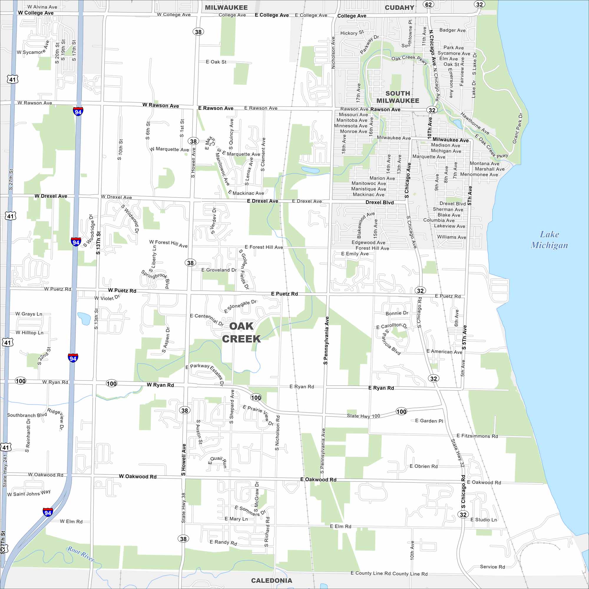
Oak Creek borders Lake Michigan just south of Milwaukee. The map shows a mix of suburban neighborhoods and industrial areas near the lakefront. It has grown rapidly in recent decades.
Map Information
On the Map
Interstates/Highways: I-94, US Hwy 41, State Rte 38, State Rte 32, State Rte 100, State Rte 241 Major Roads: Rawson Ave, Ryan Rd, Howell Ave, College Ave, Drexel Blvd, Puetz Rd, Oakwood Rd, Chicago Ave, 27th St, 13th St, Pennsylvania Ave, Shepard Ave, Forest Hill Ave, Nicholson Ave, Lake Dr, Marquette Ave, Groveland Dr, Elm Rd, Fitzsimmons Rd, Obrien Rd Lakes and Reservoirs: Lake Michigan Major Rivers: Root River Nearby Communities: Milwaukee, Cudahy, South Milwaukee, CaledoniaWisconsin State Maps
Discover maps of the Badger State.


City Maps of Wisconsin
See our Wisconsin maps designed for clarity.


