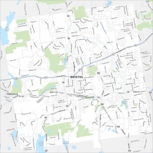
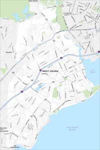
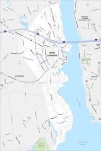
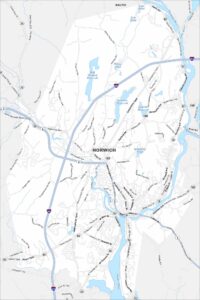
Map of Norwich, Connecticut
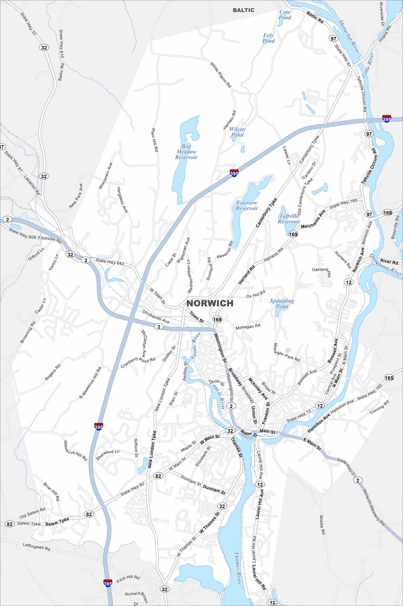
Our map of Norwich shows a city where the Thames, Shetucket, and Yantic Rivers meet. Downtown sits at the rivers’ confluence, with streets stretching into wooded hills. The city has a long history tied to early industry.
Connecticut State Maps
Here’s your getaway to Connecticut geography


Map Information
On the Map
Interstates/Highways: I-395, State Rte 2, State Rte 12, State Rte 32, State Rte 82, State Rte 87, State Rte 97, State Rte 165, State Rte 169, State Rte 608, State Rte 610, State Rte 642 Major Roads: West Main St, East Main St, Washington St, Broadway, Main St, Thames St, Laurel Hill Rd, Salem Tpke, New London Tpke, Town St, Otrobando Ave, West Town St, Canterbury Tpke, Norwichtown Ave, Hunters Ave, Merchants Ave, Taftville Occum Rd, Boswell Ave, Central Ave, Hamilton Ave Lakes and Reservoirs: Spaulding Pond, Fairview Reservoir, Bog Meadow Reservoir, Taftville Reservoir, Wilcox Pond, Eely Pond, Cote Pond Major Rivers: Thames River, Yantic River, Shetucket River, Quinebaug River, Little River Nearby Communities: BalticConnecticut City Maps
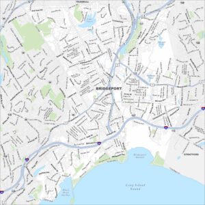
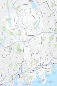
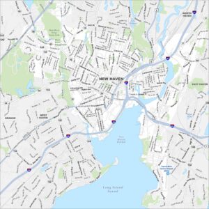
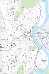
Browse Hartford and Connecticut’s city centers