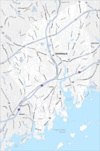
Map of Norwalk, Connecticut
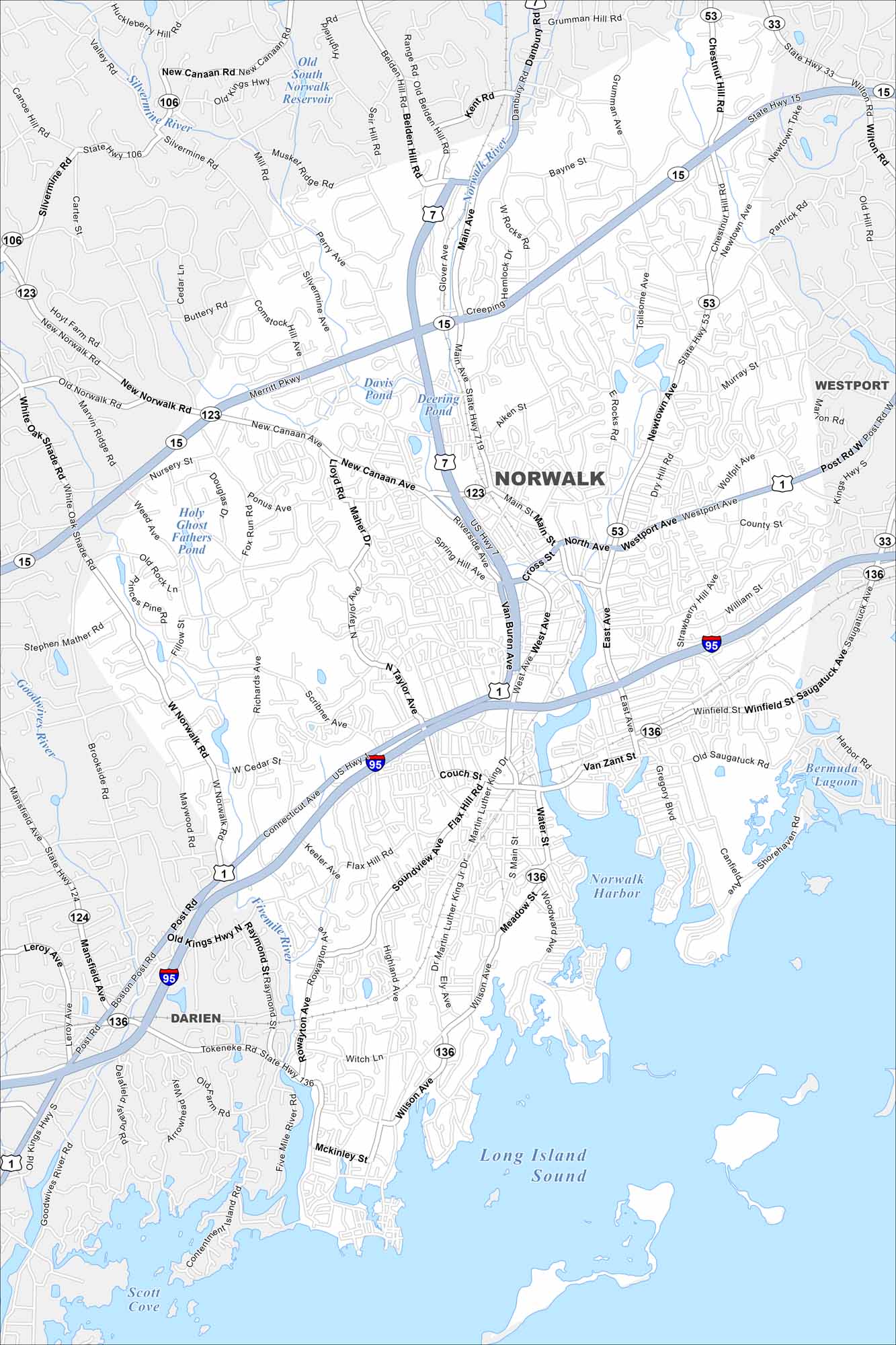
Norwalk stretches along Long Island Sound with a mix of neighborhoods and waterfronts. Take a look at our map to see marinas, islands, and a busy downtown. The harbor and beaches stand out as defining features.
Connecticut State Maps
Here’s your getaway to Connecticut geography


Map Information
On the Map
Interstates/Highways: I-95, US Hwy 7, US Hwy 1, State Rte 15, State Rte 33, State Rte 53, State Rte 106, State Rte 123, State Rte 124, State Rte 136 Major Roads: Main Ave, Westport Ave, Connecticut Ave, Main St, East Ave, West Ave, Newtown Ave, New Canaan Ave, Silvermine Ave, Richards Ave, Fillow St, Ponus Ave, Nursery St, Richards Ave, Wilson Ave, Woodward Ave, Gregory Blvd, Strawberry Hill Ave, Saugatuck Ave, Riverside Ave Lakes and Reservoirs: Long Island Sound, Norwalk Harbor, Bermuda Lagoon, Scott Cove, Old South Norwalk Reservoir, Davis Pond, Deering Pond, Holy Ghost Fathers Pond Major Rivers: Norwalk River, Silvermine River, Five Mile River, Goodwives River Nearby Communities: Westport, DarienConnecticut City Maps
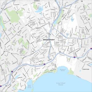
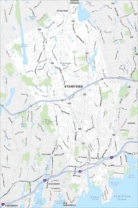
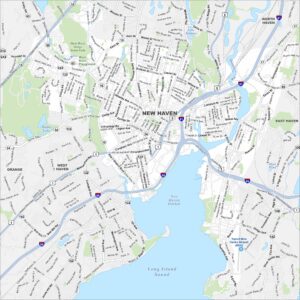
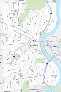
Browse Hartford and Connecticut’s city centers