Map of Norwalk, California
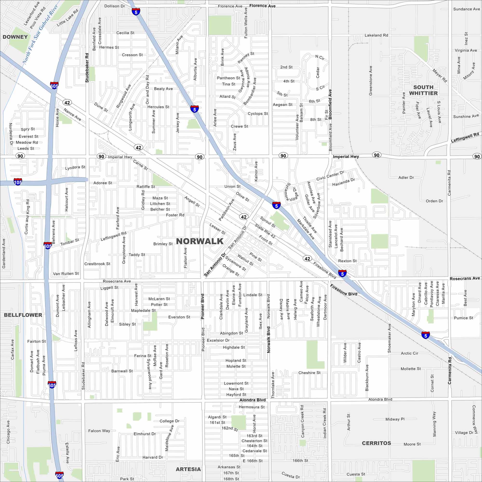
Norwalk sits in southeast Los Angeles County. Our map shows residential areas, major freeways, and local parks. The city is a hub in the LA metro area.
California State Maps
Explore California with our state maps


Map Information
On the Map
Interstates/Highways: I-5, I-605, State Rte 42, State Rte 90, Imperial Hwy Major Roads: Firestone Blvd, Rosecrans Ave, Alondra Blvd, Norwalk Blvd, Pioneer Blvd, Studebaker Rd, San Antonio Dr, Bloomfield Ave, Carmenita Rd, Shoemaker Ave, Excelsior Dr, Leffingwell Rd, Foster Rd, Gridley Rd, Paddison Ave, Orr and Day Rd, Florence Ave, 166th St, 183rd St Major Rivers: North Fork San Gabriel River Nearby Communities: Downey, Bellflower, Santa Fe Springs, South Whittier, Cerritos, ArtesiaCalifornia City Maps
Here are detailed maps of California


