North Carolina National Parks and Forests Map
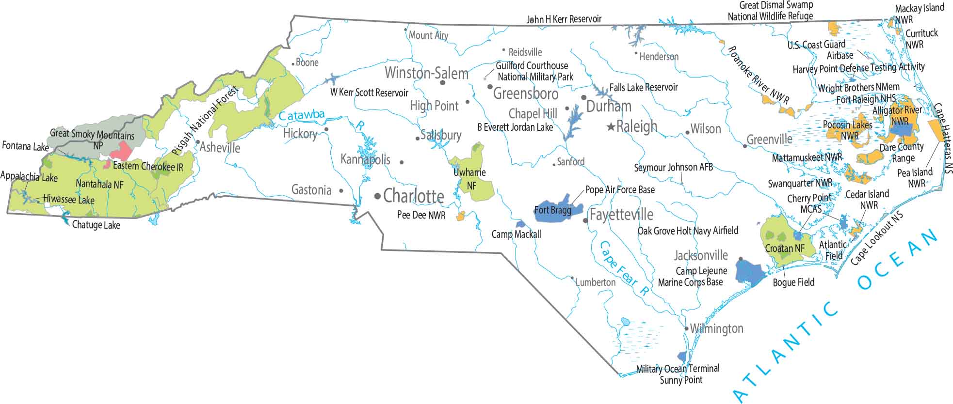
The Smokies do the heavy lifting in North Carolina. Great Smoky Mountains National Park dominates the west, with Pisgah and Nantahala spreading out around it. Our map shows these national parks and forests.
Map Information
On the Map
Parks, Forests and Federal Lands
National Parks (NP): Great Smoky Mountains NP National Forests (NF): Croatan NF, Nantahala NF, Pisgah NF, Uwharrie NF National Wildlife Refuges WNWR): Alligator River NWR, Cedar Island NWR, Currituck NWR, Great Dismal Swamp NWR, Mackay Island NWR, Mattamuskeet NWR, Pea Island NWR, Pee Dee NWR, Pocosin Lakes NWR, Roanoke River NWR, Swanquarter NWR Other Federal Lands: Cape Hatteras National Seashore, Cape Lookout National Seashore, Fort Raleigh National Historic Site, Wright Brothers National Memorial Indian Reserves: Eastern Cherokee IR Army, Naval and Military: Bogue Field Landing, Camp Lejeune, Camp Mackall, Cherry Point Marine Corps Air Station, Dare County Range, Fort Bragg, Guilford Courthouse National Military Park, Harvey Point Defense Testing Activity, Marine Corps Base, Military Ocean Terminal, Naval Facility Engineering Command, Oak Grove Holt Navy Airfield, Pope Air Force Base, Seymour Johnson Air Force Base, U.S. Coast Guard AirbaseLand Information
State Capital: Raleigh Major Cities: Charlotte, Durham, Greensboro, Winston-Salem Cities and Towns: Asheville, Boone, Chapel Hill, Fayetteville, Gastonia, Greenville, Henderson, Hickory, High Point, Jacksonville, Kannapolis, Lumberton, Mount Airy, Reidsville, Salisbury, Sanford, Wilmington, Wilson Lakes and Reservoirs: Appalachia Lake, Atlantic Ocean, B Everett Jordan Lake, Chatuge Lake, Chesapeake Bay, Falls Lake Reservoir, Fontana Lake, Hiwassee Lake, John H Kerr Reservoir, W Kerr Scott Reservoir Rivers and Streams: Cape Fear River, Catawba RiverNorth Carolina State Maps
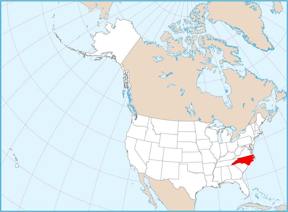
Get to know the mountains and coastlines of North Carolina.


