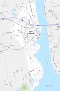
Map of New London, Connecticut
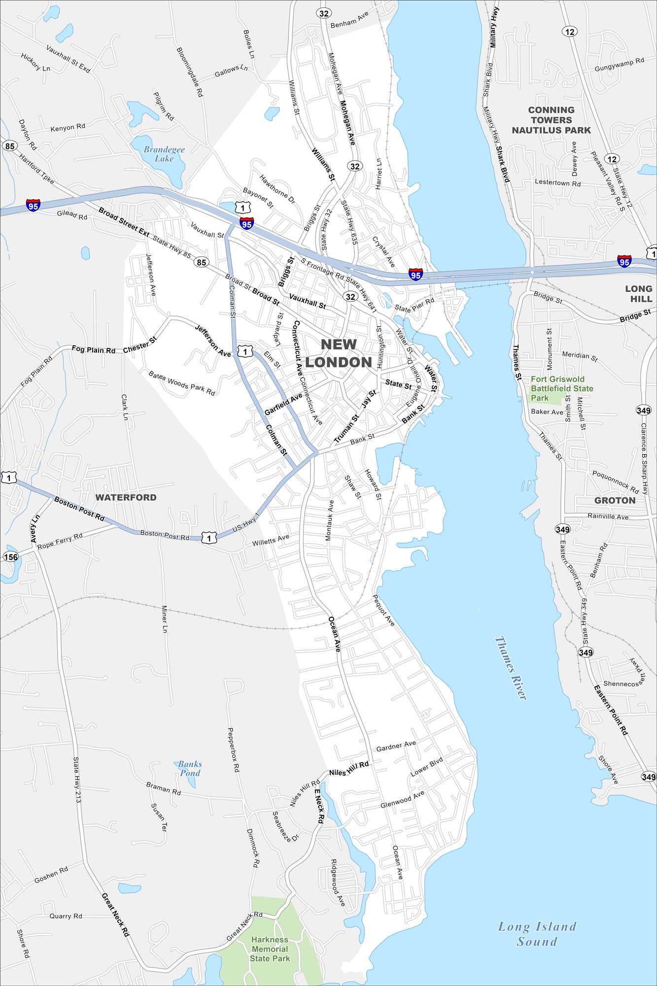
New London rests on the Thames River near Long Island Sound. Our map highlights the parks, highways, roads and a compact downtown. The city has long been tied to maritime trade.
Connecticut State Maps
Here’s your getaway to Connecticut geography


Map Information
On the Map
Interstates/Highways: I-95, US Hwy 1, State Rte 12, State Rte 32, State Rte 85, State Rte 156, State Rte 213, State Rte 349, State Rte 635, State Rte 641 Major Roads: Colman St, Broad St, Bank St, Ocean Ave, Pequot Ave, Montauk Ave, Willetts Ave, Jefferson Ave, Vauxhall St, Williams St, Mohegan Ave, Eastern Point Rd, Benham Rd, Bridge St, Military Hwy, Shark Blvd, Rainville Ave, Poquonnock Rd, Shennecossett Rd, Shore Rd Lakes and Reservoirs: Long Island Sound, Brandegee Lake, Banks Pond Major Rivers: Thames River Parks and Preserves: Harkness Memorial State Park, Fort Griswold Battlefield State Park Nearby Communities: Waterford, Groton, Long Hill, Conning Towers Nautilus ParkConnecticut City Maps
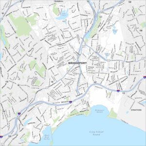
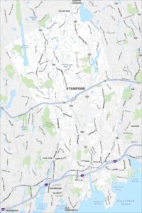
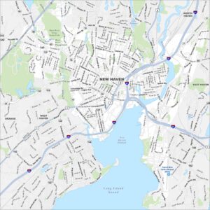
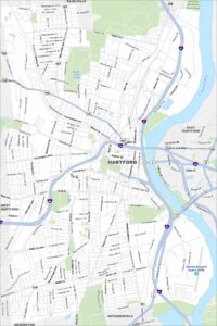
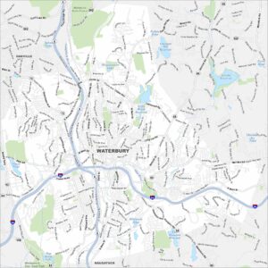
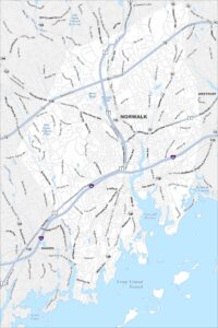
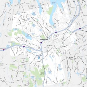
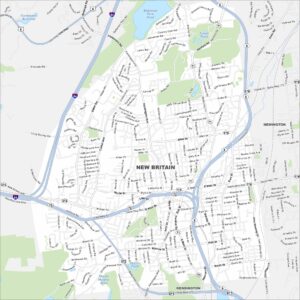
Browse Hartford and Connecticut’s city centers