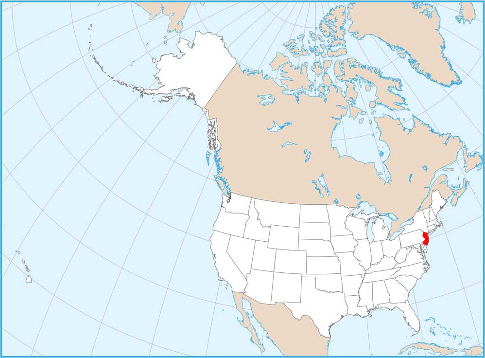
New Jersey National Parks and Forests Map
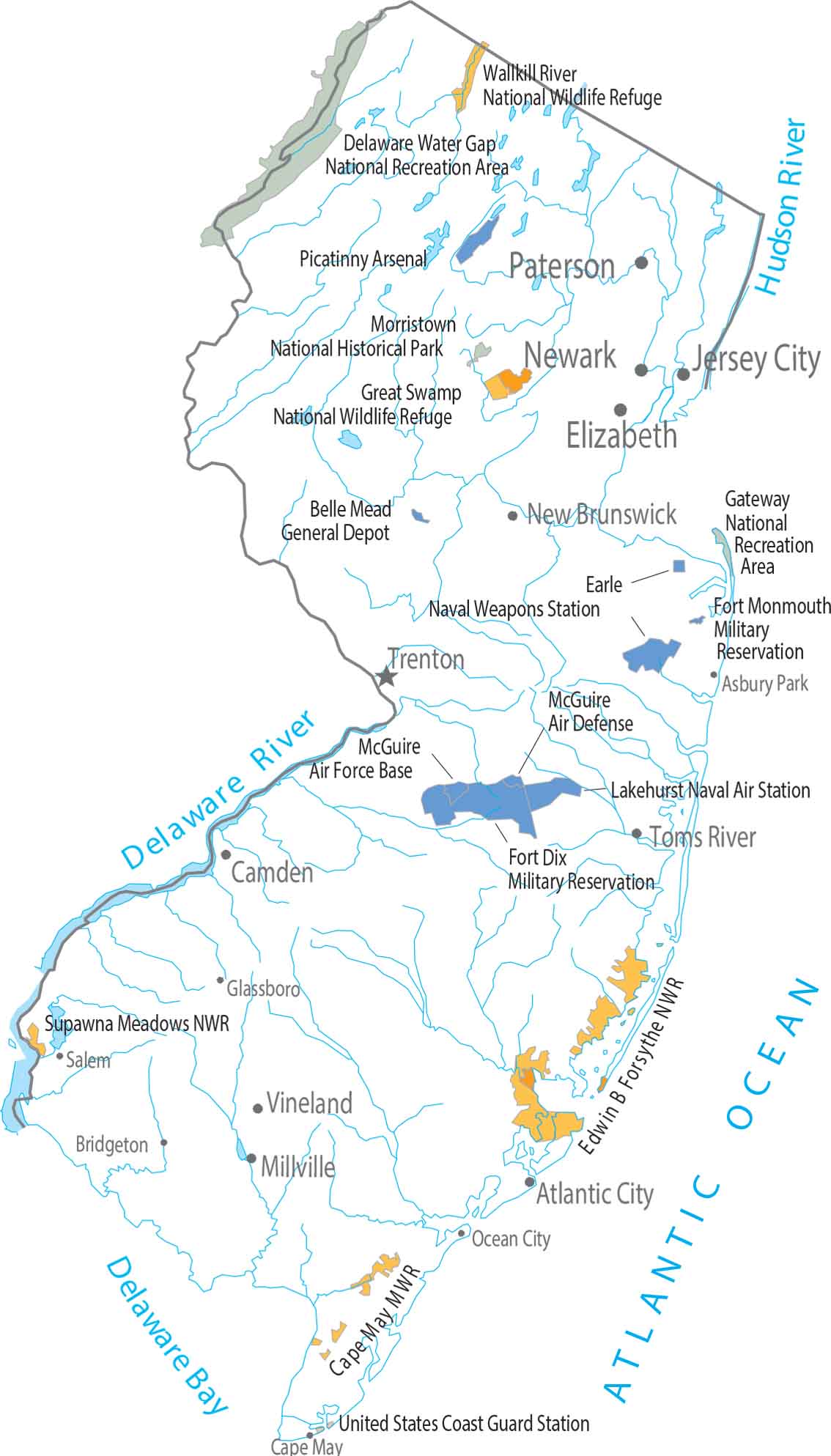
New Jersey has no national parks and no national forests. Federal land here shows up in smaller units like the Delaware Water Gap National Recreation Area. The state sits between the Delaware River and Atlantic Ocean with several national wildlife refuges.
Map Information
On the Map
Parks, Forests and Federal Lands
National Wildlife Reserves (NWR): Edwin B Forsythe NWR, Great Swamp NWR, Supawna Meadows NWR, Wallkill River NWR National Recreational Areas (NRA): Delaware Water Gap National Recreation Area, Gateway Belle Mead National Recreation Area Other Federal Lands: Morristown National Historical Park Indian Reserves (IR): Cape May Military Base, Earle Naval Weapons Station, Fort Dix Military Reservation, Fort Monmouth Military Reservation, Lakehurst Naval Air Station, McGuire Air Defense, McGuire Air Force Base, Picatinny Arsenal, United States Coast Guard StationLand Information
State Capital: Trenton Major Cities: Jersey City, Lakewood, Newark, Paterson Cities and Towns: Asbury Park, Atlantic City, Bridgeton, Camden, Cape May, Elizabeth, Glassboro, Millville, Mt Holly, New Brunswick, Ocean City, Passaic, Phillipsburg, Salem, Tom’s River, Vineland Rivers and Streams: Delaware River, Hudson River Bays and Reservoirs: Atlantic Ocean, Delaware BayNew Jersey State Maps
Explore maps from the Garden State.


