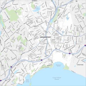
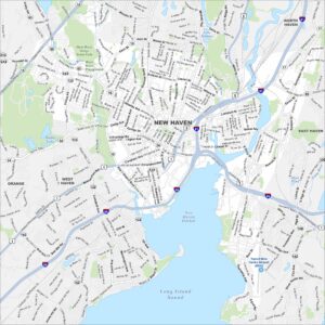
Map of New Haven, Connecticut
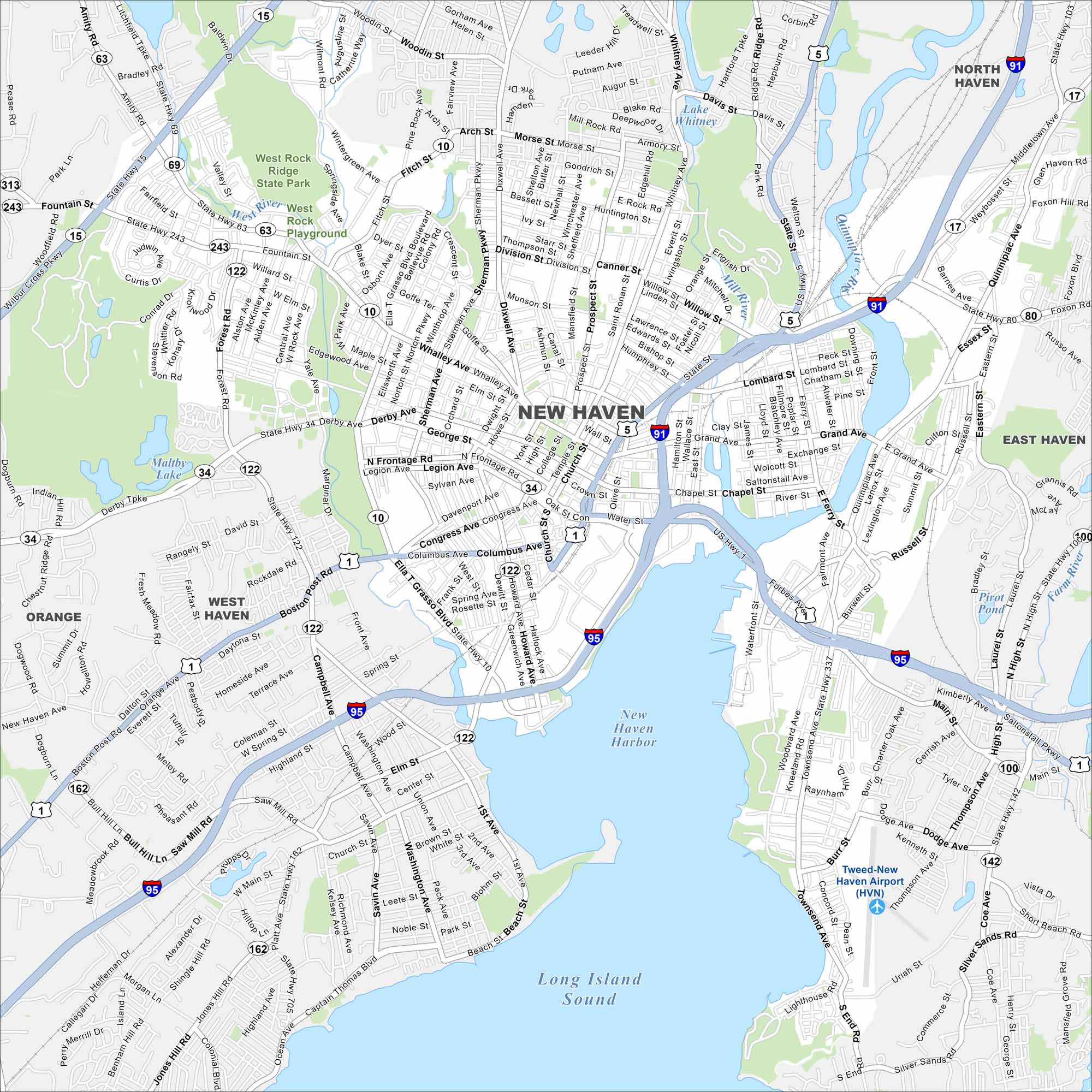
New Haven stretches along Long Island Sound with Yale University at its core. The map highlights highways, roads and the busy harbor. It’s one of the oldest and most historic cities in New England.
Connecticut State Maps
Here’s your getaway to Connecticut geography


Map Information
On the Map
Interstates/Highways: I-91, I-95, US Hwy 1, State Rte 15, State Rte 34, State Rte 63, State Rte 69, State Rte 80, State Rte 103, State Rte 122, State Rte 337 Major Roads: Whalley Ave, Grand Ave, Davenport Ave, Columbus Ave, Congress Ave, Whitney Ave, Dixwell Ave, Forest Rd, Ella T Grasso Blvd, Campbell Ave, Townsend Ave, Quinnipiac Ave, Middletown Ave, Foxon Hill Rd, Derby Ave, Legion Ave, George St, Chapel St, Water St, Forbes Ave Airports: Tweed-New Haven Airport (HVN) Lakes and Reservoirs: Long Island Sound, New Haven Harbor, Lake Whitney, Maltby Lake, Pirot Pond Major Rivers: West River, Mill River, Quinnipiac River, Farm River Parks and Preserves: West Rock Ridge State Park Nearby Communities: North Haven, East Haven, Orange, West HavenConnecticut City Maps
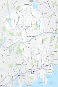
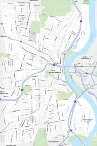
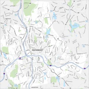
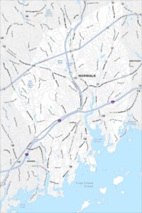
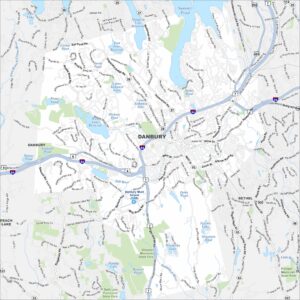
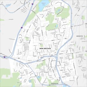
Browse Hartford and Connecticut’s city centers