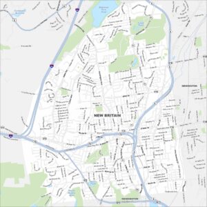
Map of New Britain, Connecticut

New Britain sits in central Connecticut near Hartford. This map highlights its downtown, residential neighborhoods, and nearby parks. The city is often nicknamed the “Hardware City” because of its history as a manufacturing center.
Connecticut State Maps
Here’s your getaway to Connecticut geography


Map Information
On the Map
Interstates/Highways: I-84, State Rte 9, State Rte 72, State Rte 71, State Rte 174, State Rte 175, State Rte 372 Major Roads: Main St, West Main St, East Main St, New Britain Ave, Farmington Ave, Stanley St, South Main St, Corbin Ave, Harry S Truman Overpass, Chestnut St, Myrtle St, Broad St, Burritt St, Osgood Ave, Slater Rd, Alexander Rd, Blake Rd, Allen St, Alexander Rd, John Downey Dr Lakes and Reservoirs: Batterson Park Pond, Shuttle Meadow Pond, Doers Pond, Farmington Reservoir, Lower Pond Nearby Communities: Newington, Kensington, FarmingtonConnecticut City Maps
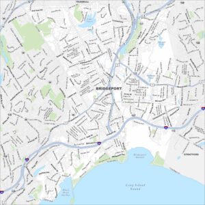
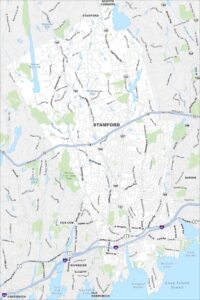
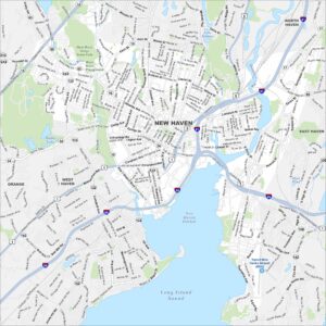
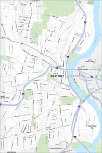
Browse Hartford and Connecticut’s city centers