Map of Moreno Valley, California
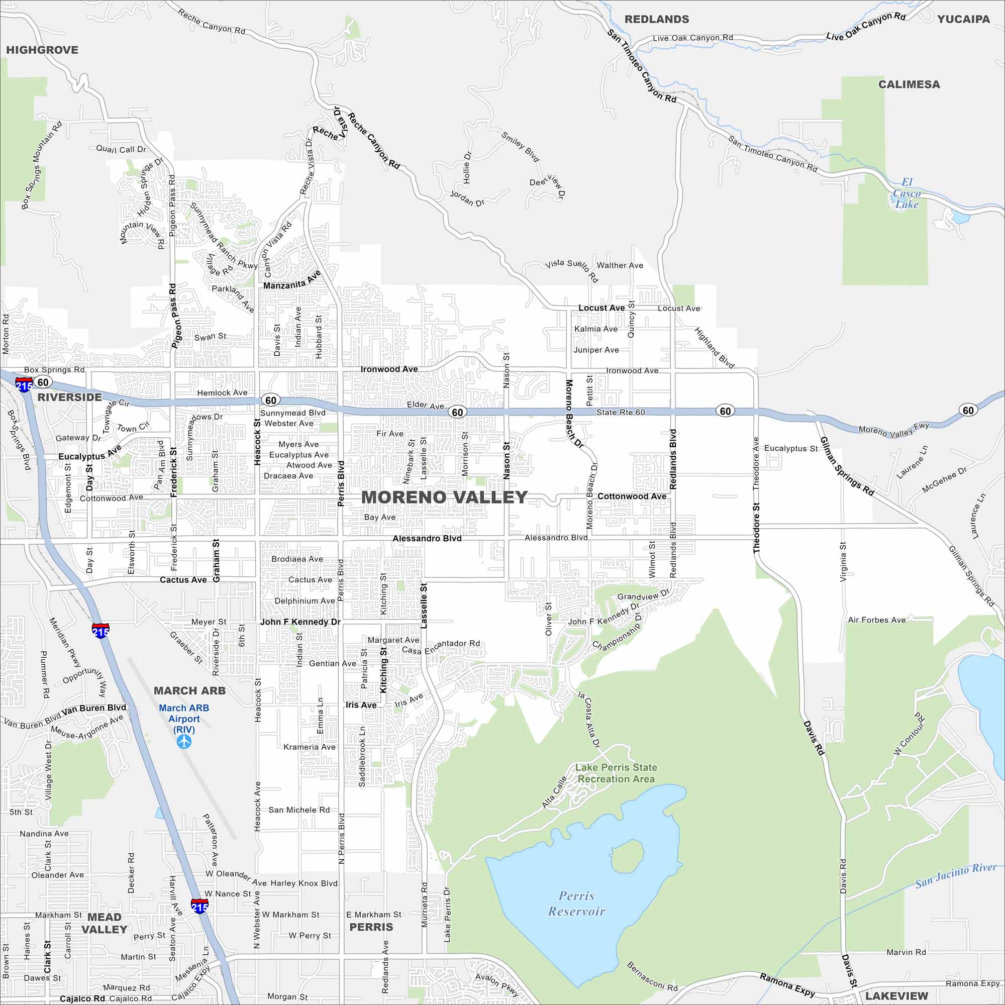
Our map of Moreno Valley shows wide residential areas backed by rugged hills. Highways connect it across the Inland Empire. Perris Reservoir and Recreational Area is a major landmark nearby.
California State Maps
Explore California with our state maps


Map Information
On the Map
Interstates/Highways: State Rte 60, I-215 Major Roads: Alessandro Blvd, Cactus Ave, Iris Ave, Sunnymead Blvd, Perris Blvd, Heacock St, Nason St, Moreno Beach Dr, Redlands Blvd, Ironwood Ave, Day St, Frederick St, Graham St, Lasselle St, Kitching St, Indian Ave, Pigeon Pass Rd, Reche Canyon Rd, Gilman Springs Rd, San Michele Rd Airports: March ARB Airport (RIV) Lakes and Reservoirs: Perris Reservoir, El Casco Lake Major Rivers: San Jacinto River Parks and Preserves: Lake Perris State Recreation Area Nearby Communities: Riverside, Redlands, Perris, Mead Valley, Highgrove, Calimesa, Yucaipa, LakeviewCalifornia City Maps
Here are detailed maps of California


