Map of Moorpark, California
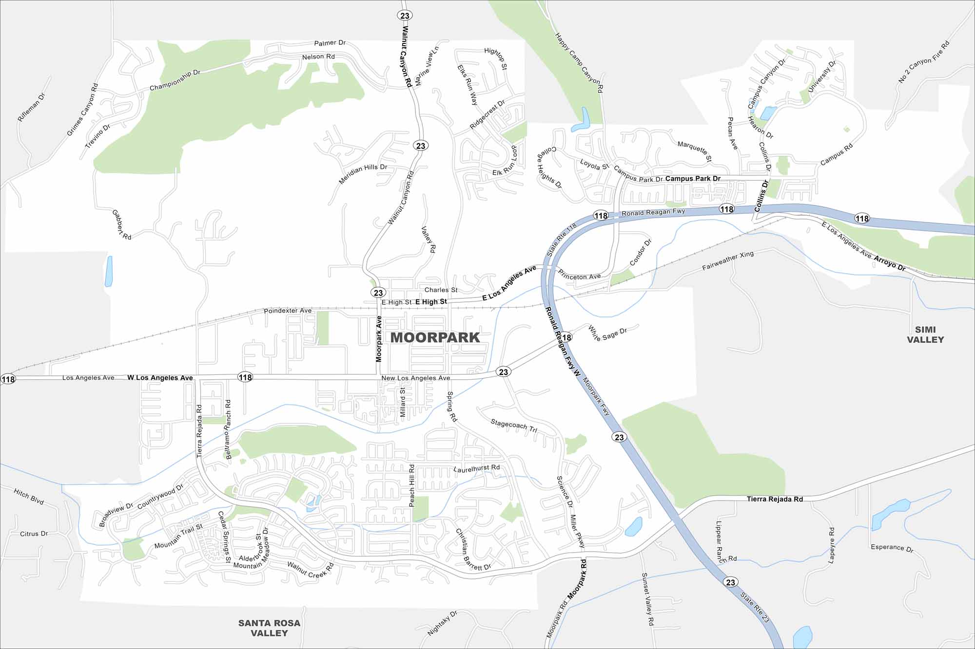
Take a look at Moorpark with our map. Suburban streets spread through valleys and hills, with agriculture still surrounding the edges. It’s a growing community northwest of Los Angeles in Ventura County.
California State Maps
Explore California with our state maps


Map Information
On the Map
Interstates/Highways: State Rte 23, State Rte 118, Ronald Reagan Fwy Major Roads: Los Angeles Ave, Moorpark Rd, Tierra Rejada Rd, Miller Pkwy, Science Dr, Collins Dr, Campus Park Dr, Princeton Ave, High St, Poindexter Ave, Walnut Canyon Rd, Grimes Canyon Rd, Championship Dr, Meridian Hills Dr, Countrywood Dr, Mountain Trail St, Gabbert Rd Nearby Communities: Simi Valley, Santa Rosa ValleyCalifornia City Maps
Here are detailed maps of California


