Map of Montclair, California
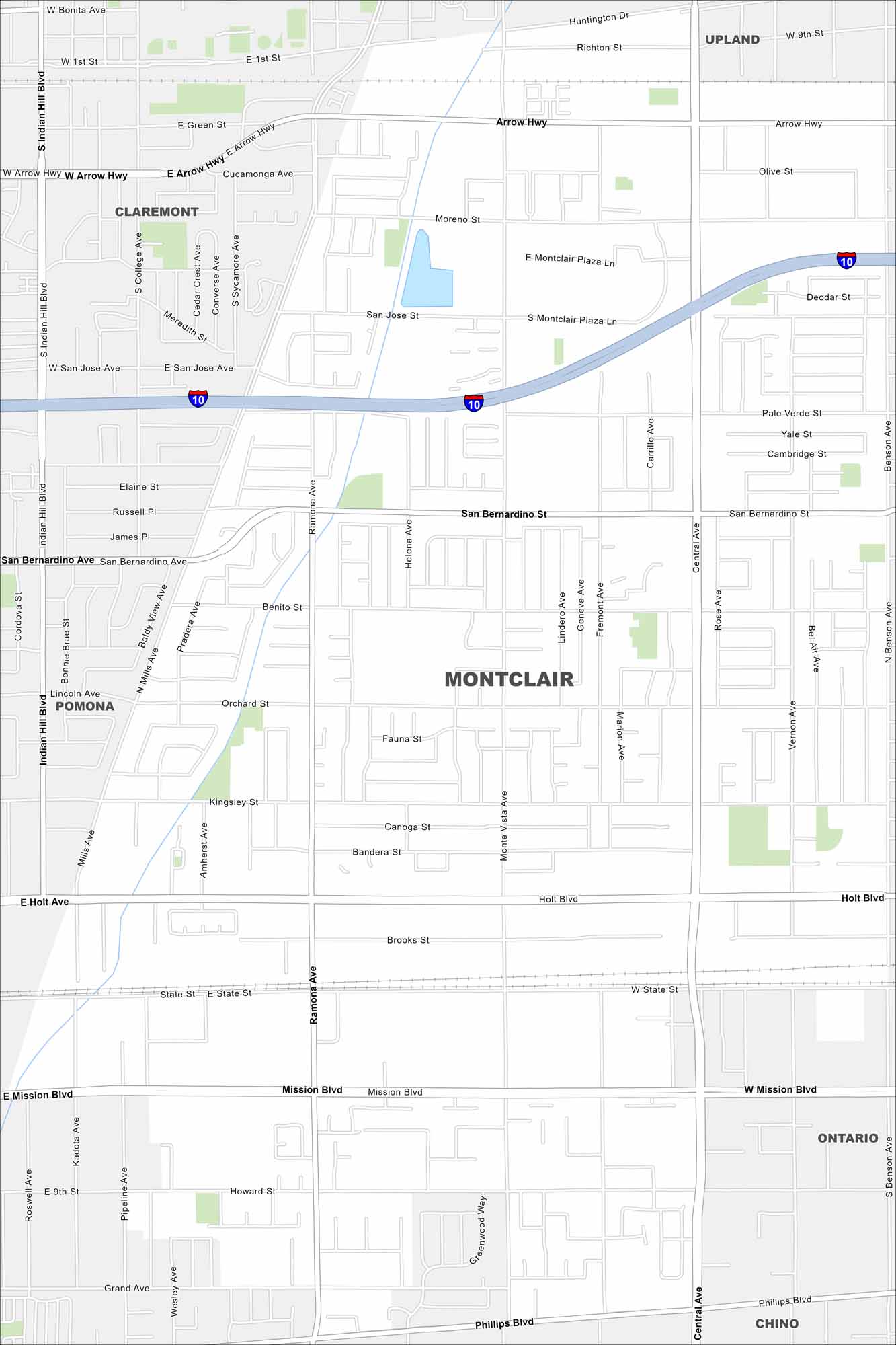
We’ve mapped out Montclair, which is located within the Inland Empire. Our map shows its transportation network and highways at its core. It’s closely tied to surrounding cities in San Bernardino County.
California State Maps
Explore California with our state maps


Map Information
On the Map
Interstates/Highways: I-10 Major Roads: Central Ave, Monte Vista Ave, Ramona Ave, San Bernardino Ave, Holt Blvd, Mission Blvd, Arrow Hwy, State St, Benson Ave, Indian Hill Blvd, Orchard St, Kingsley St, Brooks St, Phillips Blvd, Moreno St, San Jose St, Ninth St, Howard St, Grand Ave, Palo Verde St Nearby Communities: Claremont, Upland, Pomona, Ontario, ChinoCalifornia City Maps
Here are detailed maps of California


