Home » State Maps » Map of Mississippi

Map of Mississippi

Mississippi Map

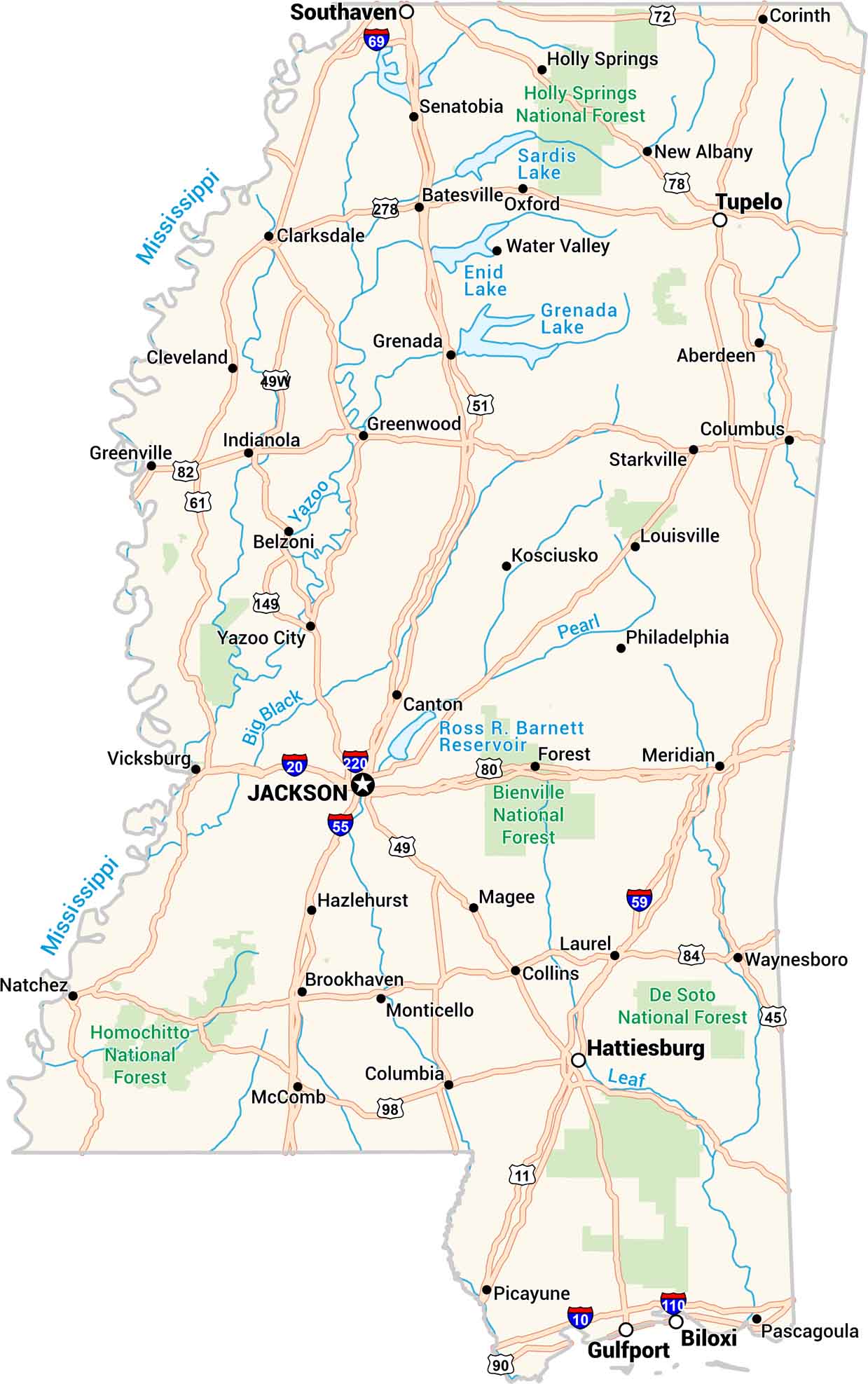
Our map of Mississippi shows every bend of the river and every small town along the way. You’ll see Jackson, Biloxi, and the Delta. Highways cross through pine forests and farmland. It’s a state that moves slow, warm, and full of soul.

Map Information

  • State of Mississippi
  • Road Map of Mississippi
  • Free for personal and commercial purpose. Attribution is required. How to attribute?

On the Map

Mississippi Location Map
State Capital: Jackson Major Cities: Gulfport, Hattiesburg Cities and Towns: Aberdeen, Batesville, Belzoni, Biloxi, Brookhaven, Canton, Clarksdale, Cleveland, Collins, Columbia, Columbus, Corinth, Greenville, Greenwood, Grenada, Hazlehurst, Holly Springs, Indianola, Kosciusko, Laurel, Louisville, Magee, McComb, Meridian, Monticello, Natchez, New Albany, Oxford, Pascagoula, Philadelphia, Picayune, Senatobia, Southaven, Starkville, Tupelo, Vicksburg, Water Valley, Waynesboro, Yazoo City Interstate Highways: I-10, I-110, I-20, I-220, I-55, I-59, I-69 US Routes: US-11, US-149, US-278, US-45, US-49, US-49W, US-51, US-61, US-72, US-78, US-80, US-82, US-84, US-90, US-98 Lakes and Reservoirs: Enid Lake, Grenada Lake, Ross R. Barnett Reservoir, Sardis Lake Rivers and Streams: Big Black River, Leaf River, Mississippi River, Pearl River, Yazoo River National Parks and Forests: Bienville National Forest, De Soto National Forest, Holly Springs National Forest, Homochitto National Forest

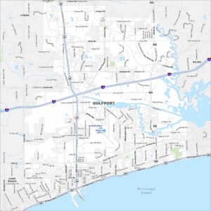
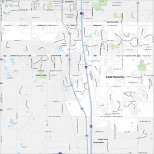
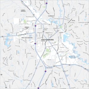
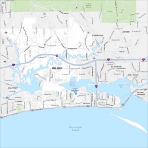
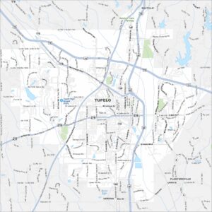
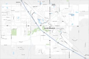
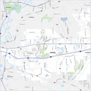
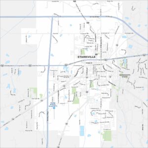
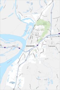
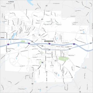
Mississippi City Maps

Discover Mississippi with our city maps

References

  1. Government Website of Mississippi
  2. Mississippi in Google Maps

Leave a Reply

Your email address will not be published. Required fields are marked *