Michigan National Parks and Forests Map
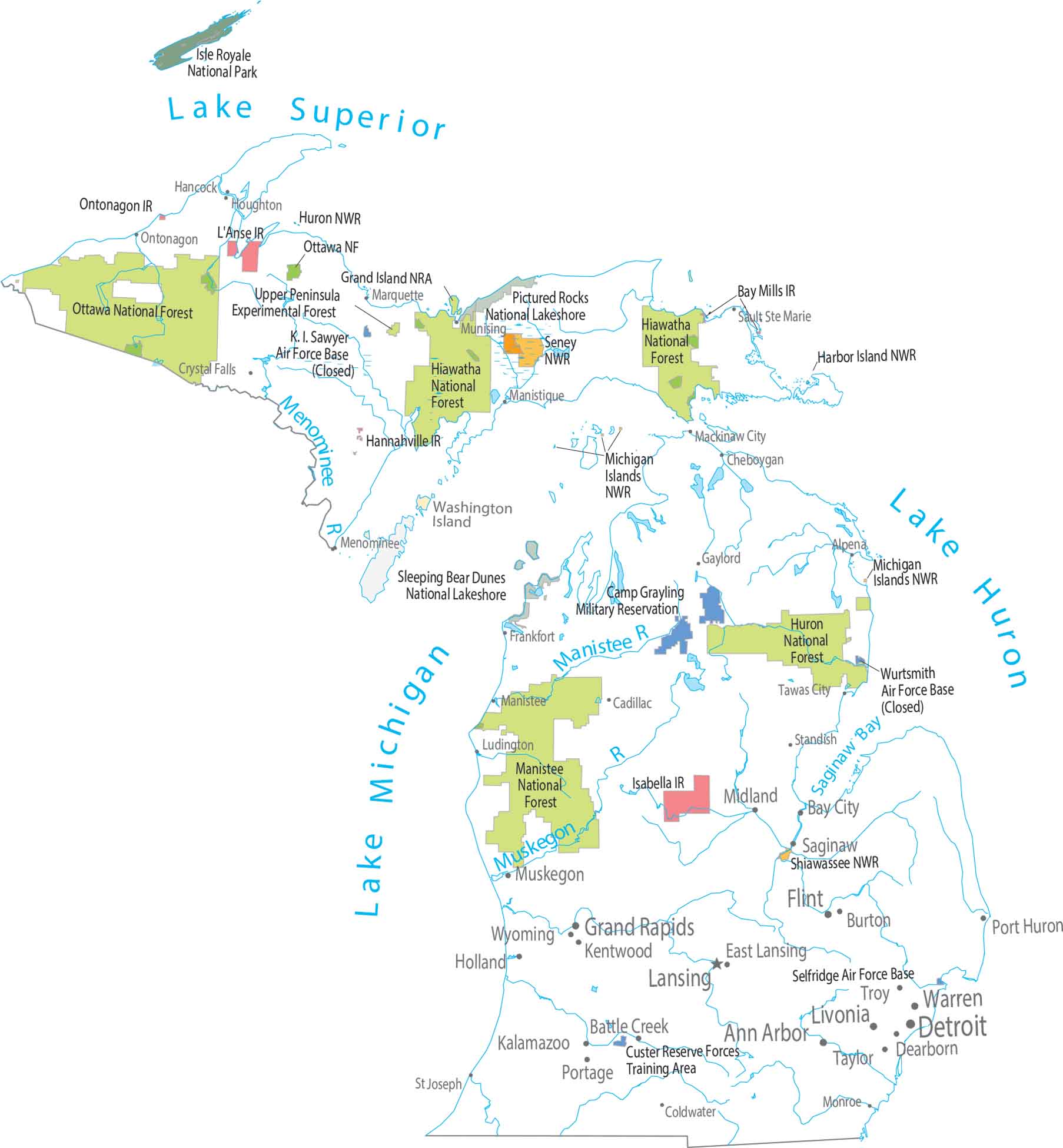
The map changes completely as you go north. Forests spread wide across both peninsulas. Our map makes Isle Royale look isolated and remote. Southern Michigan feels packed with more cities and populated places.
Map Information
On the Map
Parks, Forests and Federal Lands
National Parks (NP): Isle Royale National Park National Forests: Hiawatha NF, Huron NF, Manistee NF, Ottawa NF National Wildlife Refuges (NWR): Harbor Island NWR, Huron NWR, Michigan Islands NWR, Seney NWR, Shiawassee NWR Other Landmarks: Pictured Rocks National Lakeshore, Sleeping Bear Dunes National Lakeshore, Upper Peninsula Experimental Forest Indian Reserves (IR): Bay Mills IR, Hannahville IR, Isabella IR, L’Anse IR, Ontonagon IR Army, Naval and Military: Camp Grayling Military Reservation, Custer Reserve Forces Training Area, K. I. Sawyer Air Force Base (Closed), Selfridge Air Force Base, Wurtsmith Air Force Base (Closed)Land Information
State Capital: Lansing Major Cities: Ann Arbor, Detroit, Flint, Grand Rapids, Sterling Heights, Warren Cities and Towns: Alpena, Battle Creek, Bay City, Cadillac, Cheboygan, Coldwater, Crystal Falls, Dearborn, East Lansing, Gaylord, Hancock, Holland, Kalamazoo, Kentwood, Livonia, Ludington, Mackinaw City, Manistee, Manistique, Marquette, Midland, Monroe, Munising, Muskegon, Ontonagon, Port Huron, Portage, Saginaw, Sault Ste. Marie, St Joseph, Standish, Tawas City, Taylor, Troy, Wyoming Lakes and Reservoirs: Lake Erie, Lake Huron, Lake Michigan, Lake Superior Major Rivers: Manistee River, Menominee River, Muskegon RiverMichigan State Maps
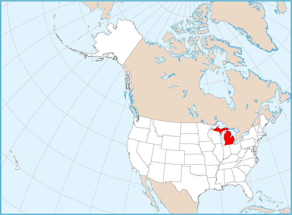
Get to know Michigan with our detailed maps


