Map of Miami, Florida
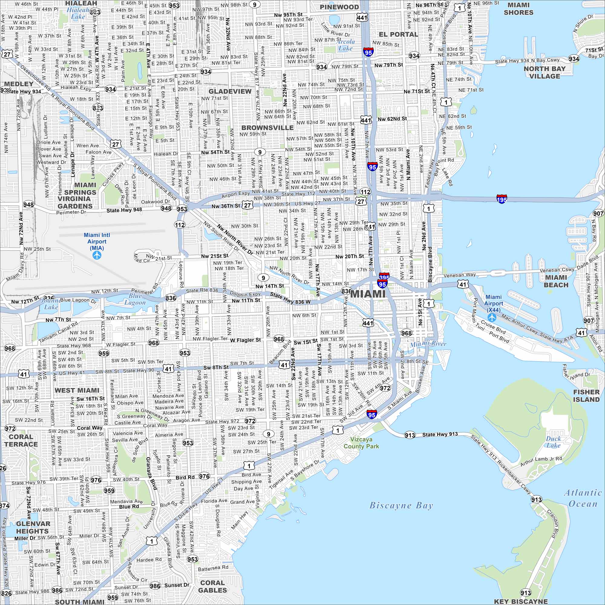
Take a look at Miami with our road map. The city spreads from Biscayne Bay inland. It’s one of the nation’s most dynamic urban centers.
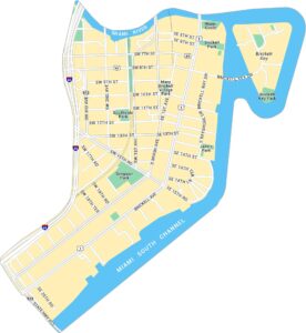
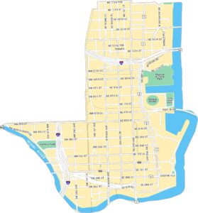
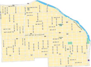
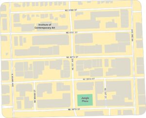
Miami Neighborhood Maps
See our neighborhood maps for a closer look of the city.
Florida State Maps
Discover Florida through our state maps


Map Information
On the Map
Interstates/Highways: I-95, I-195, I-395, US Hwy 41, US Hwy 27, US Hwy 1, State Rte 836, State Rte 112, State Rte 934, State Rte 9, State Rte 948, State Rte 953, State Rte 968, State Rte 972, State Rte 959, State Rte 976, State Rte 913 Major Roads: Flagler St, Brickell Ave, Biscayne Blvd, NW 36th St, NW 27th Ave, NW 7th Ave, SW 8th St, LeJeune Rd, Coral Way, Bird Rd, Douglas Rd, Unity Blvd, 22nd Ave, 17th Ave, 12th Ave, Main Hwy, Bayshore Dr, Venetian Cswy, Port Blvd, Rickenbacker Cswy Airports: Miami Intl Airport (MIA), Miami Airport (X44) Lakes and Reservoirs: Biscayne Bay, Blue Lagoon, Duck Lake Major Rivers: Miami River Nearby Communities: Hialeah, Medley, Virginia Gardens, Miami Springs, West Miami, Coral Terrace, Glenvar Heights, South Miami, Coral Gables, Pinewood, El Portal, Miami Shores, Brownsville, Gladeview, North Bay Village, Miami Beach, Fisher IslandFlorida City Maps
Chart your course through Miami and Florida’s cities


