Map of Meriden, Connecticut
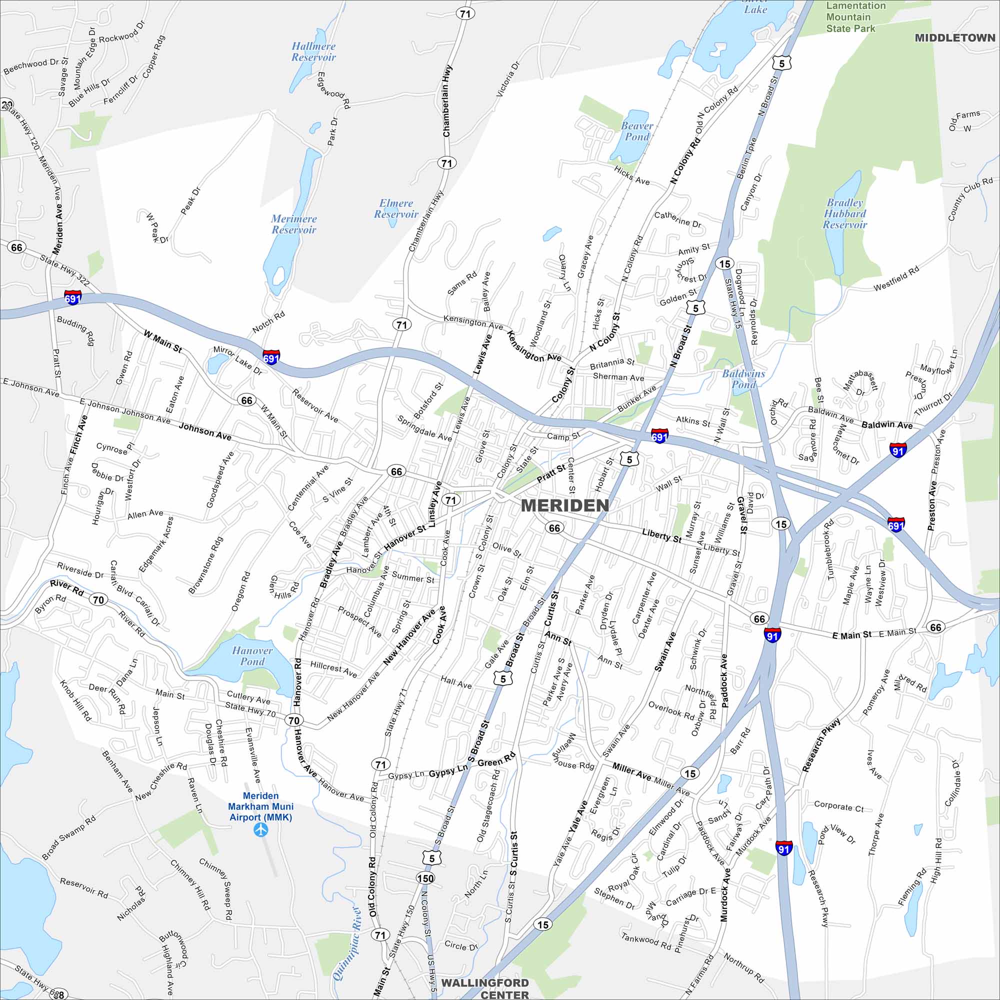
Discover Meriden, Connecticut with our road map. The focus of our map is to show roads, highways, waterways and parks. The Quinnipiac River runs through town.
Connecticut State Maps
Here’s your getaway to Connecticut geography


Map Information
On the Map
Interstates/Highways: I-91, I-691, State Rte 15, State Rte 66, State Rte 71, US Hwy 5, State Rte 70, State Rte 150 Major Roads: Main St, Broad St, Colony St, Main St, East Main St, West Main St, Berlin Tpke, Paddock Ave, Old Colony Rd, Research Pkwy, Miller Ave, Pomeroy Ave, Oregon Rd, Coe Ave, Lewis Ave, Cook Ave, Hanover St, Pratt St, Center St, Kensington Ave Airports: Meriden Markham Muni Airport (MMK) Lakes and Reservoirs: Hanover Pond, Merimere Reservoir, Hallmere Reservoir, Elmere Reservoir, Bradley Hubbard Reservoir, Baldwins Pond, Mirror Lake, Beaver Pond Major Rivers: Quinnipiac River Parks and Preserves: Lamentation Mountain State Park Nearby Communities: Wallingford, MiddletownConnecticut City Maps
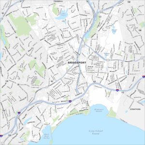
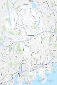
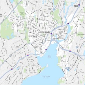
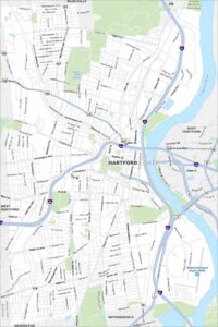
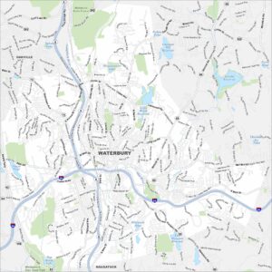
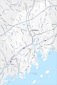
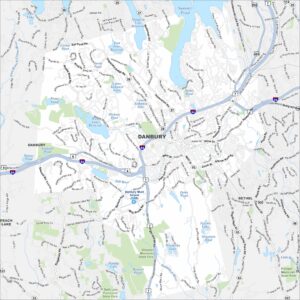
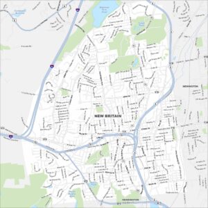
Browse Hartford and Connecticut’s city centers