Home » State Maps » Map of Maryland

Map of Maryland

Maryland Map

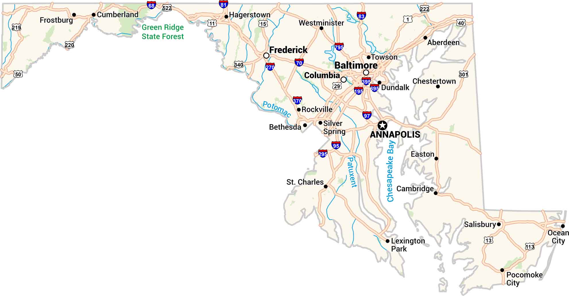
Our Maryland map includes it all. From busy Baltimore to the quiet shores of the Chesapeake Bay. Washington, D.C. sits just next door, adding the country’s political center. You’ll see cities, rivers, and highways come together in one clear view. It’s a compact map of a state full of everything you need.

Map Information

  • State of Maryland
  • Road Map of Maryland
  • Free for personal and commercial purpose. Attribution is required. How to attribute?

On the Map

Maryland Location Map
State Capital: Annapolis Major Cities: Baltimore Cities and Towns: Aberdeen, Bethesda, Cambridge, Chestertown, Columbia, Cumberland, Dundalk, Easton, Frederick, Frostburg, Hagerstown, Lexington Park, Ocean City, Pocomoke City, Rockville, Salisbury, Silver Spring, St. Charles, Towson, Westminster Interstate Highways: I-68, I-70, I-81, I-83, I-95, I-97, I-195, I-270, I-295, I-370, I-395, I-695, I-795 US Routes: US-1, US-11, US-13, US-15, US-29, US-40, US-50, US-219, US-220, US-222, US-301, US-340, US-522 Lakes and Reservoirs: Chesapeake Bay Rivers and Streams: Patuxent River, Potomac River

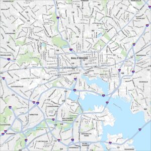
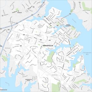
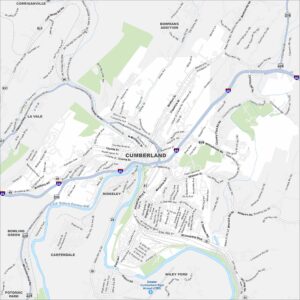
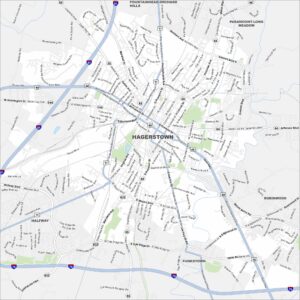
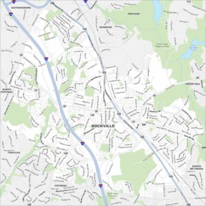
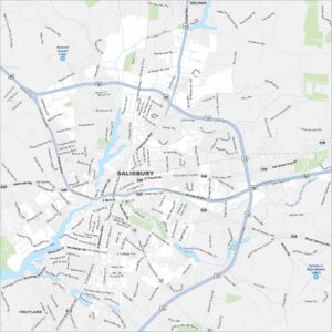
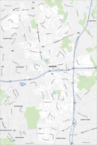
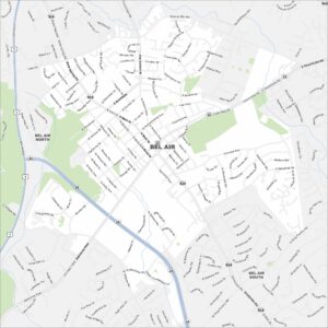
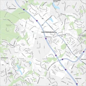
City Maps of Maryland

Here are our city maps of Maryland

References

  1. Government Website of Maryland
  2. Maryland in Google Maps

Leave a Reply

Your email address will not be published. Required fields are marked *