Map of Marina, California
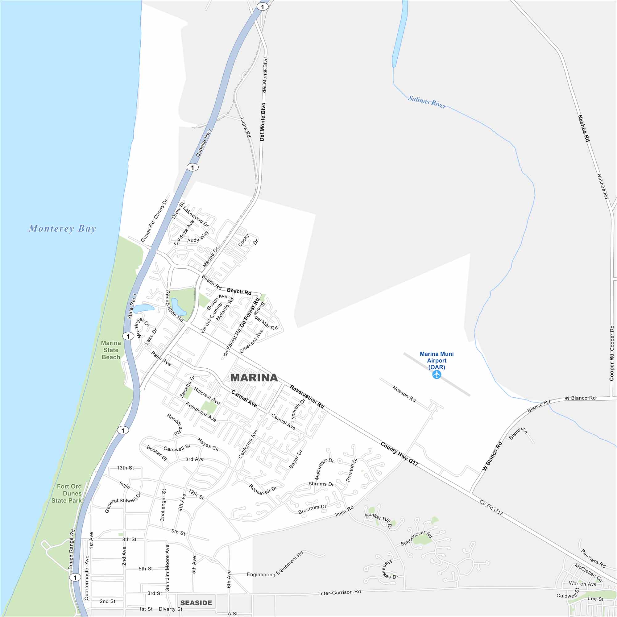
Our map of Marina shows its streets set against the Pacific coastline. The city borders Monterey Bay and Fort Ord Dunes. Highways connect it south toward Monterey.
California State Maps
Explore California with our state maps


Map Information
On the Map
Interstates/Highways: State Rte 1 Major Roads: Reservation Rd, Del Monte Blvd, Imjin Rd, Blanco Rd, General Stilwell Dr, Beach Rd, Carmel Ave, California Ave, Palm Ave, Cardoza Ave, Lake Dr, 2nd Ave, 8th St, 12th St, Inter-Garrison Rd, Abrams Dr, Preston Dr, Neeson Rd, Nashua Rd, Cooper Rd Airports: Marina Muni Airport (OAR) Lakes and Reservoirs: Monterey Bay Major Rivers: Salinas River Parks and Preserves: Marina State Beach, Fort Ord Dunes State Park Nearby Communities: SeasideCalifornia City Maps
Here are detailed maps of California


