New Mexico Lakes and Rivers Map
See how New Mexico’s rivers cut through its dry landscape. Our map of New Mexico displays the Rio Grande from north to south.

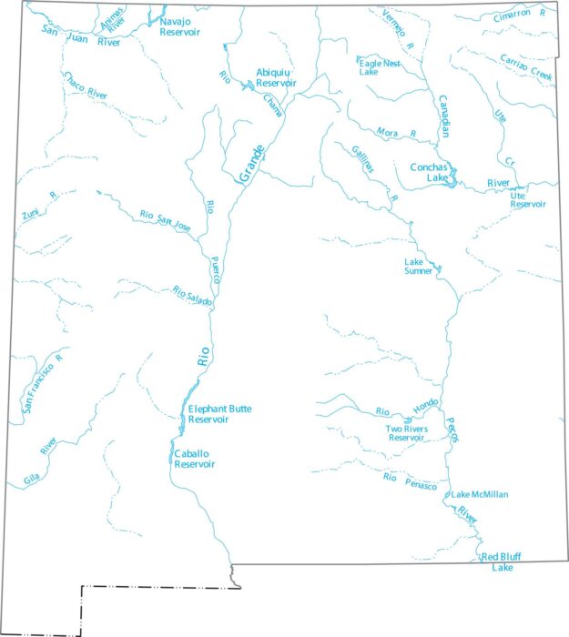
See how New Mexico’s rivers cut through its dry landscape. Our map of New Mexico displays the Rio Grande from north to south.
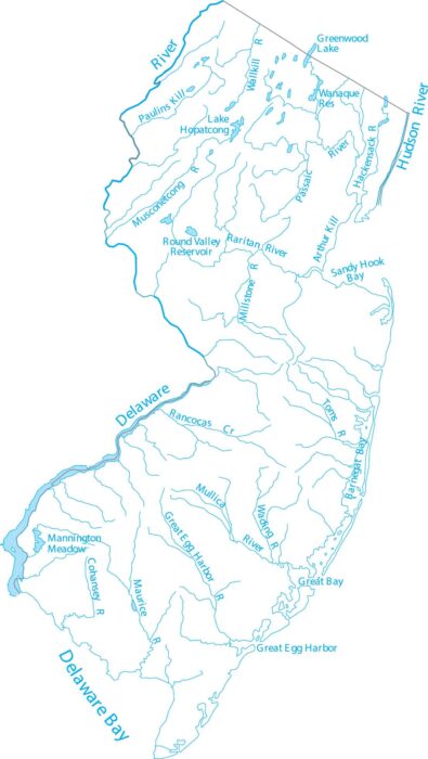
Here’s a simple map of New Jersey’s rivers including the Delaware and Hudson. You’ll find Barnegat Bay, Raritan River, and coastal bays.
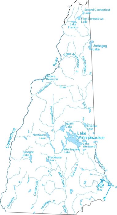
New Hampshire is in northern New England, with rivers flowing to the Atlantic. Our map highlights the Merrimack River, lakes and streams.
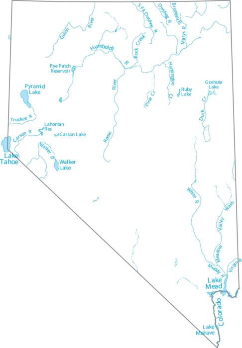
Our map of Nevada shows interior drainage and scattered reservoirs. Nevada is home to Lake Tahoe and the massive Lake Mead.

Take a look at Nebraska’s braided rivers. Our map of Nebraska highlights the Niobrara and the Platte River systems.

Our map shows where the Missouri River headwaters begin. We show Flathead Lake, one of the largest natural freshwater lakes in the West.
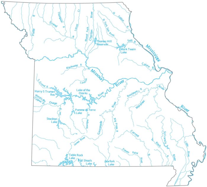
Missouri is where the Missouri River joins the Mississippi just north of St. Louis. Our map follows the Osage River and its lake system.
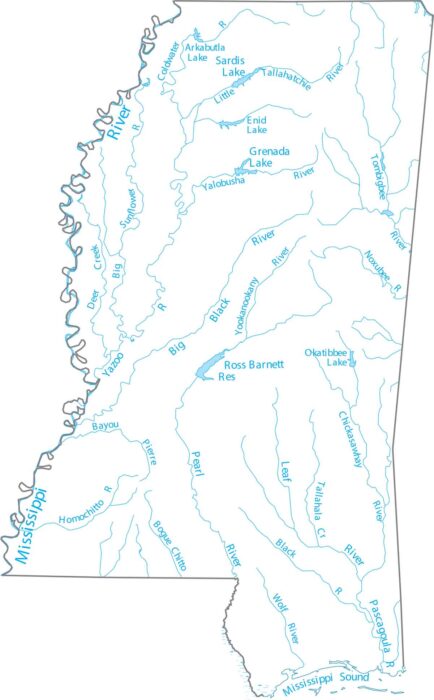
Mississippi is anchored by the Mississippi River along its western border. Our map highlights the Mississippi River and interior streams.

See how Minnesota earns its lake reputation as the “Land of 10,000 Lakes”. Our map shows the Mississippi and Minnesota Rivers.
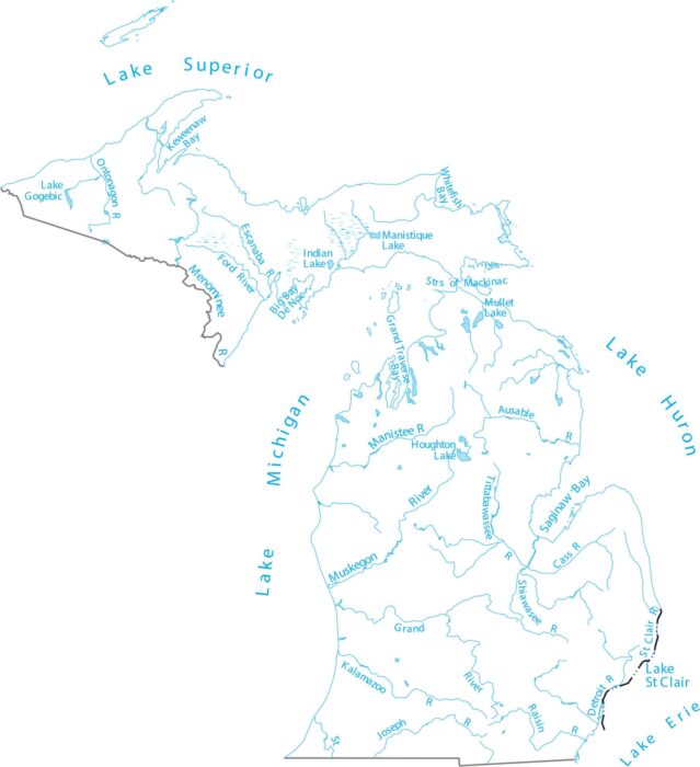
Michigan is surrounded by water, defined by four Great Lakes. Our map of Michigan shows the Great Lakes and hundreds of inland lakes.
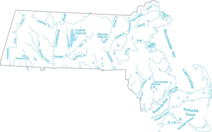
Massachusetts is in New England, where rivers run east and south to the Atlantic. Our map highlights the Connecticut River and lakes.
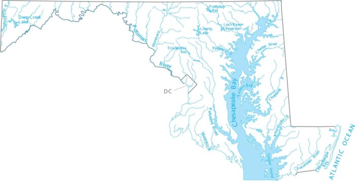
Maryland is Mid-Atlantic, wrapped around the Chesapeake Bay watershed. Check out Maryland’s rivers feeding the Chesapeake Bay.
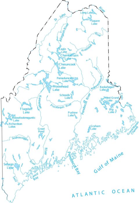
Maine is the northeastern corner of the U.S., known for cold lakes and coastal rivers. Our map lays out long rivers flowing to the Atlantic.
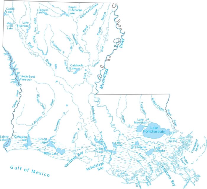
Louisiana is at the Gulf Coast, where the Mississippi River fans into a delta. Our map highlights the Mississippi River and coastal lakes.
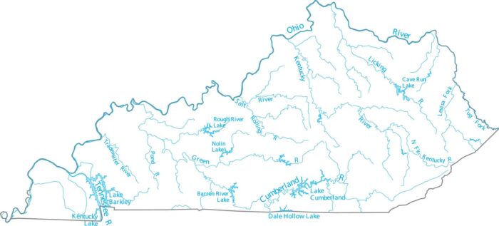
Step into a region defined by its miles of running water. Our map of Kentucky shows the Ohio River boundary and interior waterways.