Map of Manitowoc, Wisconsin
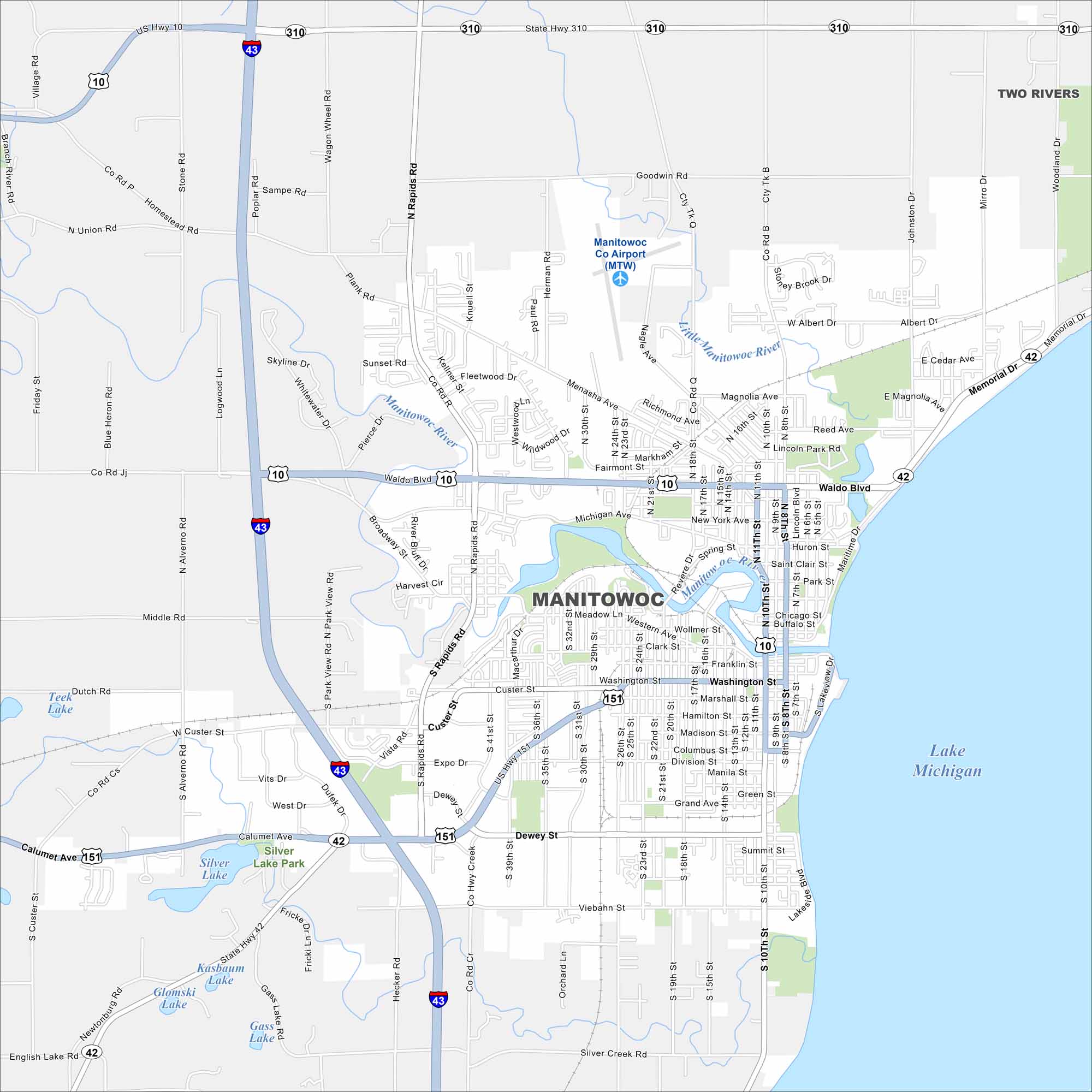
See Manitowoc on our map along Lake Michigan. Highways connect the city to Green Bay and Milwaukee. The river flows into the harbor at its center.
Map Information
On the Map
Interstates/Highways: I-43, US Hwy 10, US Hwy 151, State Rte 42, State Rte 310 Major Roads: Waldo Blvd, Calumet Ave, Washington St, Memorial Dr, Maritime Dr, Rapids Rd, Dewey St, Menasha Ave, Viebahn St, Custer St, Michigan Ave, Marshall St, Johnston Dr, Hecker Rd, Albert Dr, Franklin St, Madison St, Grand Ave, 10th St, 8th St Airports: Manitowoc Co Airport (MTW) Lakes and Reservoirs: Lake Michigan, Silver Lake, Teek Lake, Kasbaum Lake, Glomski Lake, Gass Lake Major Rivers: Manitowoc River, Little Manitowoc River Parks and Preserves: Silver Lake Park Nearby Communities: Two RiversWisconsin State Maps
Discover maps of the Badger State.


City Maps of Wisconsin
See our Wisconsin maps designed for clarity.


