Map of Manhattan Beach, California
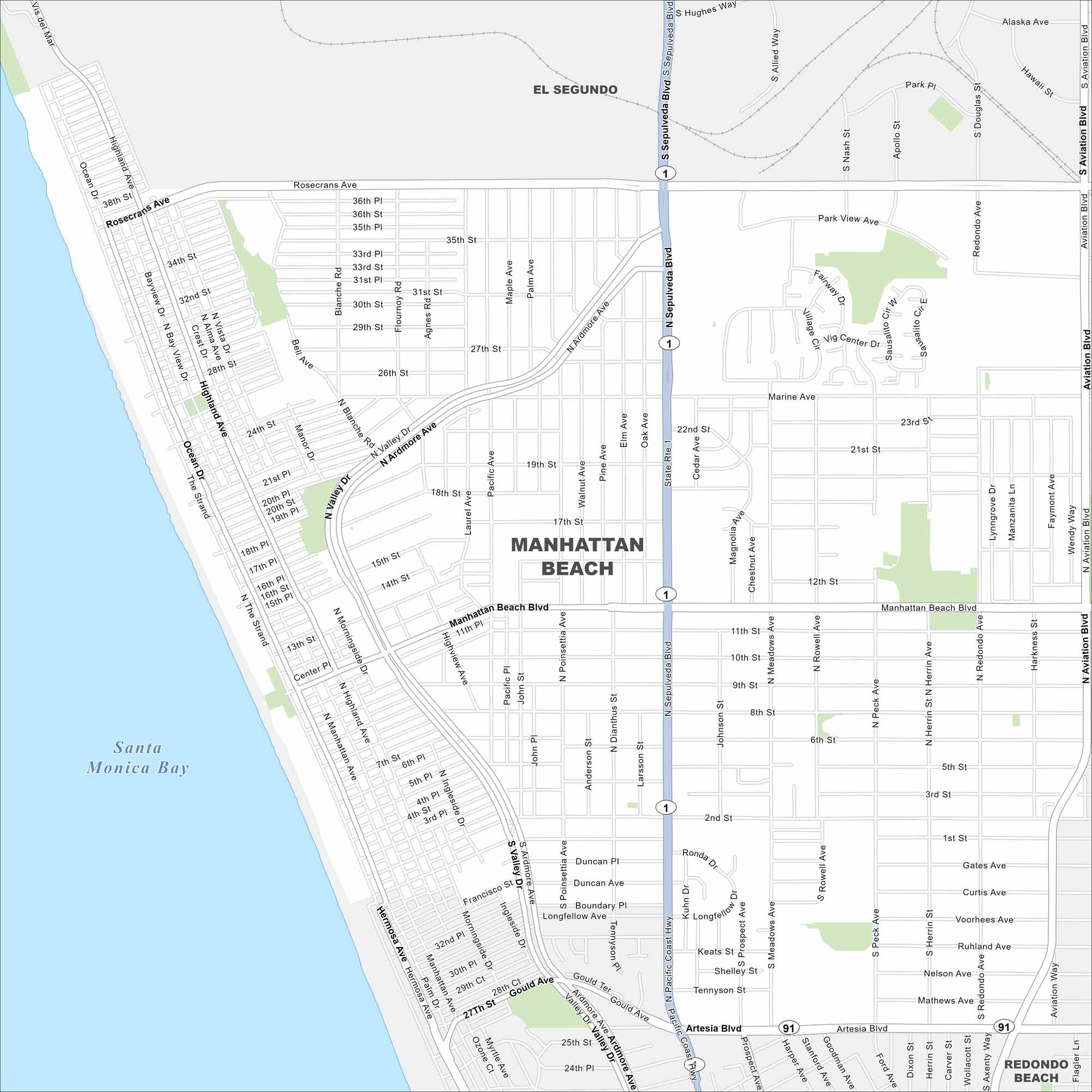
Our map of Manhattan Beach follows the shoreline south of Los Angeles. A grid of neighborhoods leads straight to the sand. Highways run just inland.
California State Maps
Explore California with our state maps


Map Information
On the Map
Interstates/Highways: State Rte 1, State Rte 91 Major Roads: Sepulveda Blvd, Artesia Blvd, Manhattan Beach Blvd, Marine Ave, Rosecrans Ave, Highland Ave, Ocean Dr, Valley Dr, Ardmore Ave, Aviation Blvd, Pacific Ave, Poinsettia Ave, Meadows Ave, Rowell Ave, Peck Ave, Herrin Ave, Redondo Ave, Harkness St, 33rd St, Gould Ave Lakes and Reservoirs: Santa Monica Bay Nearby Communities: El Segundo, Redondo BeachCalifornia City Maps
Here are detailed maps of California


