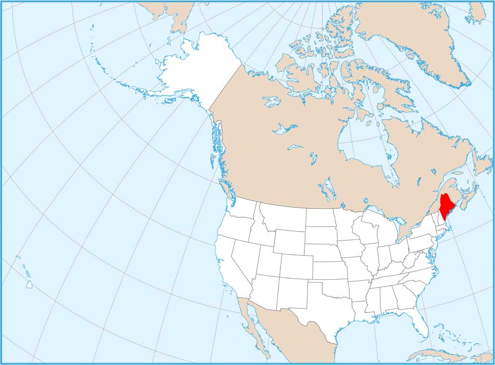
Maine Counties and Cities Map
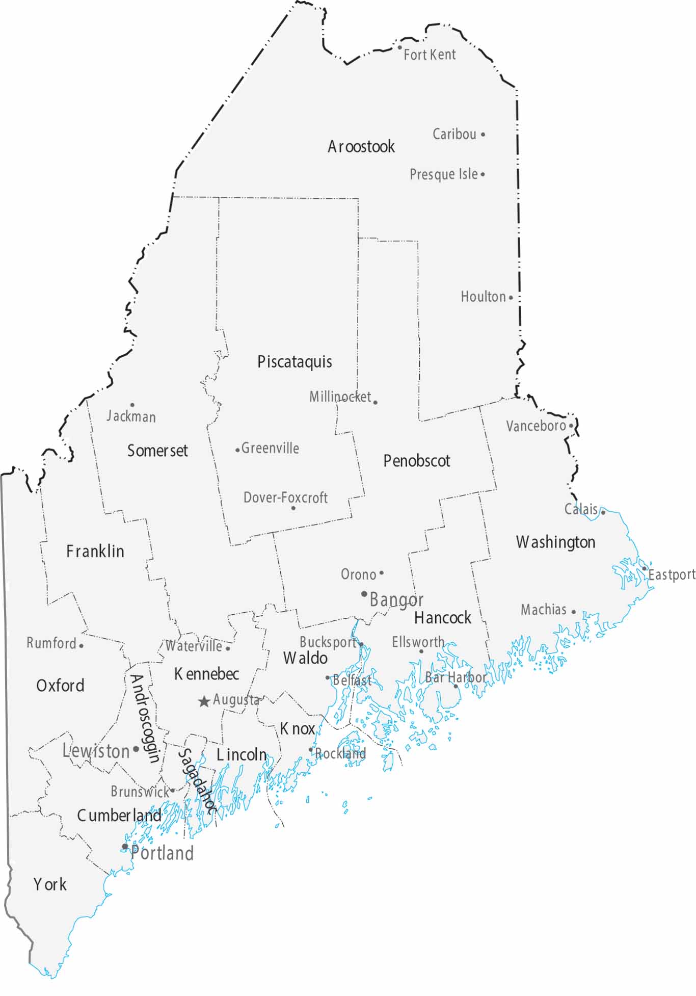
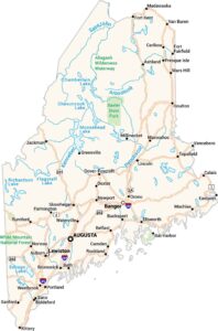
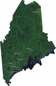
Maine’s 16 counties are dominated by vast forests and a jagged Atlantic coastline. Augusta is the capital, while Portland is the most populous city and economic center. Much of the northern map is sparsely populated wilderness.
Map Information
On the Map
|
Name |
Population 2024 |
Total Area (sq mi) |
FIPS Code |
|
Androscoggin County |
115,272 |
497.1 |
23-001 |
|
Aroostook County |
66,776 |
6,827.50 |
23-003 |
|
Cumberland County |
313,809 |
1,217.50 |
23-005 |
|
Franklin County |
30,902 |
1,743.80 |
23-007 |
|
Hancock County |
56,946 |
2,344.90 |
23-009 |
|
Kennebec County |
128,461 |
951.2 |
23-011 |
|
Knox County |
40,981 |
1,143.90 |
23-013 |
|
Lincoln County |
36,491 |
699.6 |
23-015 |
|
Oxford County |
60,039 |
2,175.70 |
23-017 |
|
Penobscot County |
156,840 |
3,557.00 |
23-019 |
|
Piscataquis County |
17,432 |
4,378.00 |
23-021 |
|
Sagadahoc County |
37,582 |
370 |
23-023 |
|
Somerset County |
51,338 |
4,093.40 |
23-025 |
|
Waldo County |
40,617 |
852.8 |
23-027 |
|
Washington County |
31,383 |
3,257.70 |
23-029 |
|
York County |
220,143 |
1,269.70 |
23-031 |
Counties and Cities Maps
Select any state map below to view its counties and cities map.


Maine State Maps
Examine the Pine Tree State of Maine