Home » State Maps » Map of Louisiana

Map of Louisiana

Louisiana Map

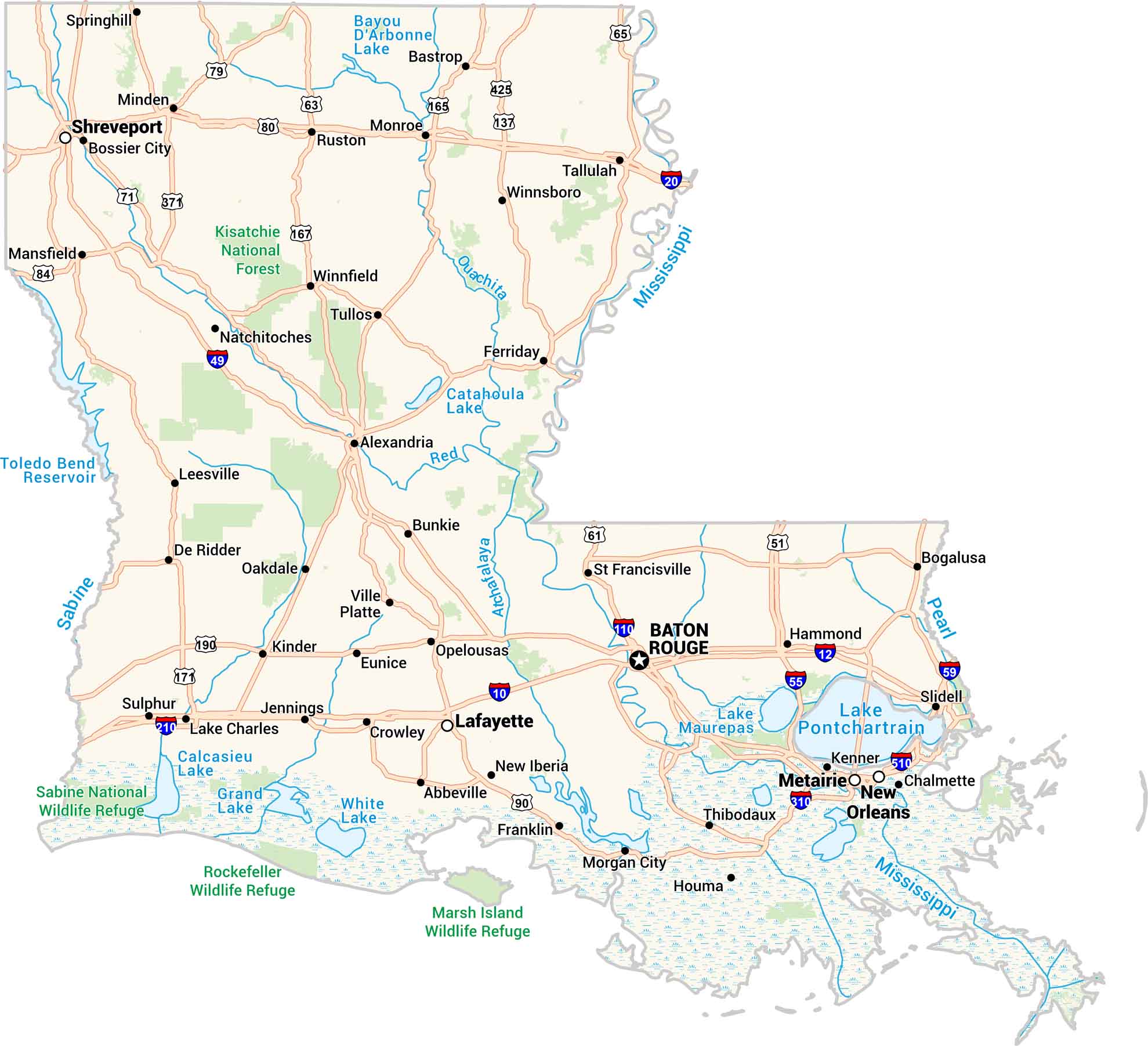
Our Louisiana map captures the state’s rhythm. From its bayous to big cities, you’ll spot Baton Rouge, Shreveport, and of course, New Orleans along the Mississippi. Highways travel through wetlands and farmland. Our map of Louisiana feels alive, just like the state.
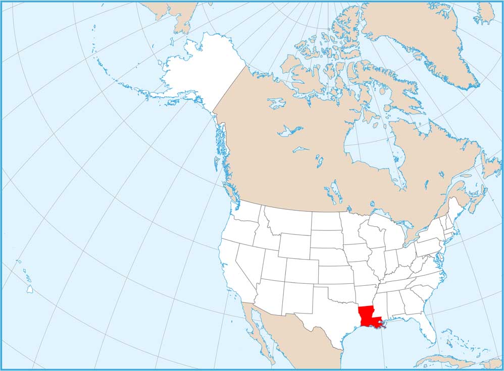
Map Information

  • State of Louisiana
  • Road Map of Louisiana
  • Free for personal and commercial purpose. Attribution is required. How to attribute?

On the Map

Louisiana Location Map
State Capital: Baton Rouge Major Cities: New Orleans, Shreveport Cities and Towns: Abbeville, Alexandria, Bastrop, Bogalusa, Bossier City, Bunkie, Chalmette, Crowley, De Ridder, Eunice, Ferriday, Franklin, Hammond, Houma, Jennings, Kenner, Kinder, Lafayette, Lake Charles, Leesville, Mansfield, Metairie, Minden, Monroe, Morgan City, Natchitoches, New Iberia, Oakdale, Opelousas, Ruston, Slidell, Springhill, Sulphur, Tallulah, Thibodaux, Tullos, Ville Platte, Winnfield, Winnsboro Interstate Highways: I-10, I-12, I-20, I-49, I-55, I-59, I-110, I-210, I-310, I-510 US Routes: US-61, US-63, US-65, US-71, US-79, US-80, US-84, US-90, US-137, US-165, US-167, US-171, US-190, US-371, US-425 Lakes and Reservoirs: Bayou D’Arbonne Lake, Calcasieu Lake, Catahoula Lake, Grand Lake, Lake Maurepas, Lake Pontchartrain, Toledo Bend Reservoir, White Lake Rivers and Streams: Atchafalaya River, Mississippi River, Ouachita River, Pearl River, Red River, Sabine River National Parks and Forests: Kisatchie National Forest, Marsh Island Wildlife Refuge, Rockefeller Wildlife Refuge, Sabine National Wildlife Refuge

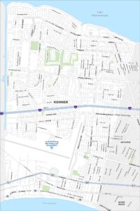
City Maps of Louisiana

Explore New Orleans and Louisiana’s urban centers with our city maps

References

  1. Government Website of Louisiana
  2. Louisiana in Google Maps

Leave a Reply

Your email address will not be published. Required fields are marked *