Map of Los Gatos, California
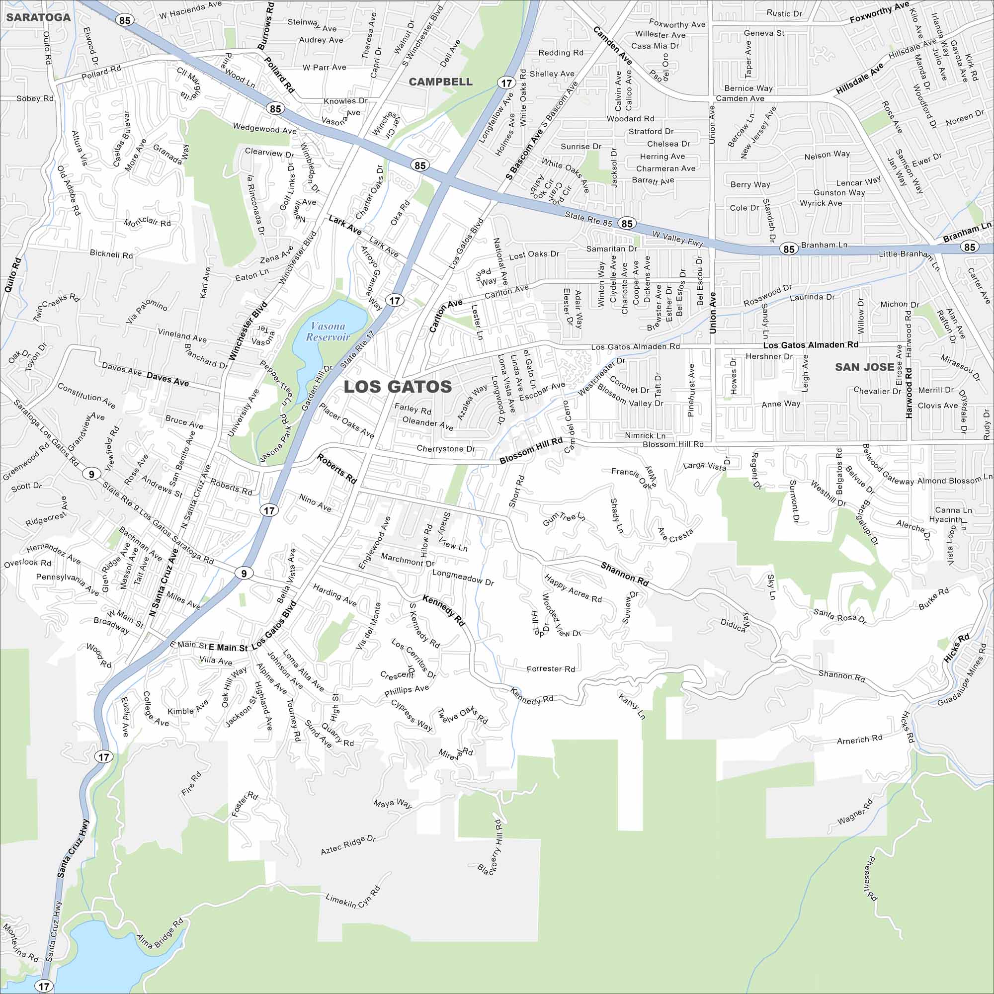
Explore Los Gatos at the foothills of the Santa Cruz Mountains. Our map shows winding streets heading into the hills. Highways connect it to San Jose and the coast.
California State Maps
Explore California with our state maps


Map Information
On the Map
Interstates/Highways: State Rte 17, State Rte 85 Major Roads: Los Gatos Blvd, Santa Cruz Ave, Main St, Winchester Blvd, Lark Ave, Union Ave, Blossom Hill Rd, Shannon Rd, Kennedy Rd, University Ave, San Jose Los Gatos Rd, Pollard Rd, Knowles Dr, Vasona Station, Carlton Ave, Los Gatos Almaden Rd, Harwood Rd, Hicks Rd, Villa Ave, Roberts Rd Lakes and Reservoirs: Vasona Reservoir Nearby Communities: Saratoga, Campbell, San JoseCalifornia City Maps
Here are detailed maps of California


